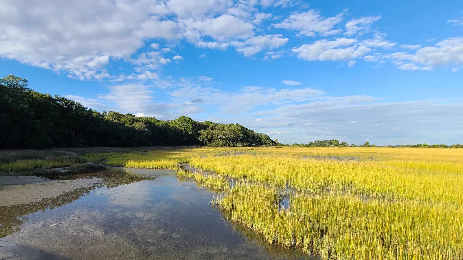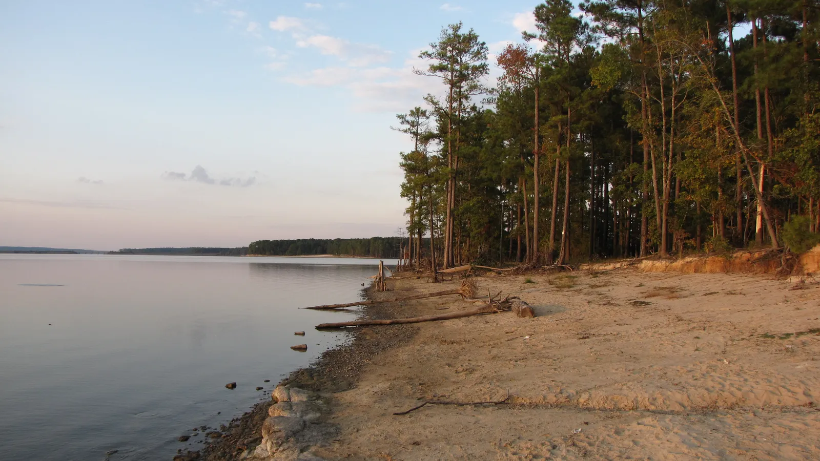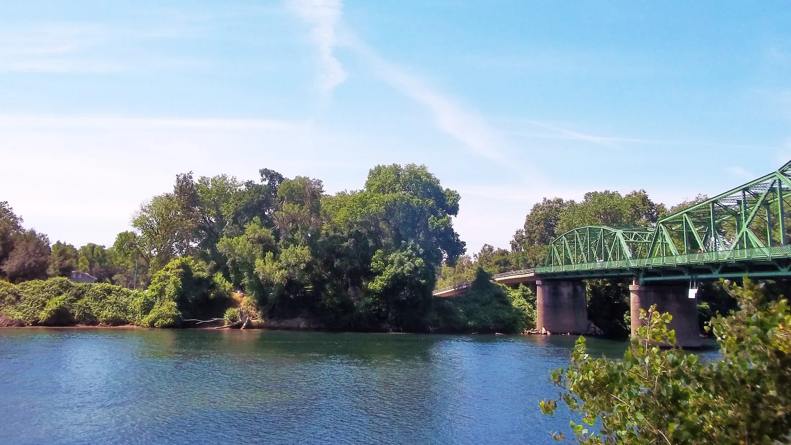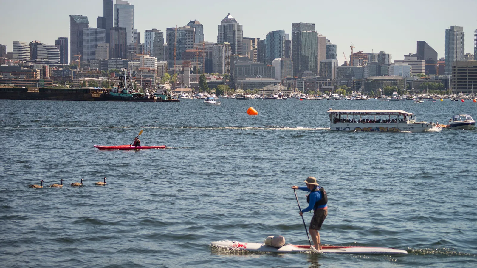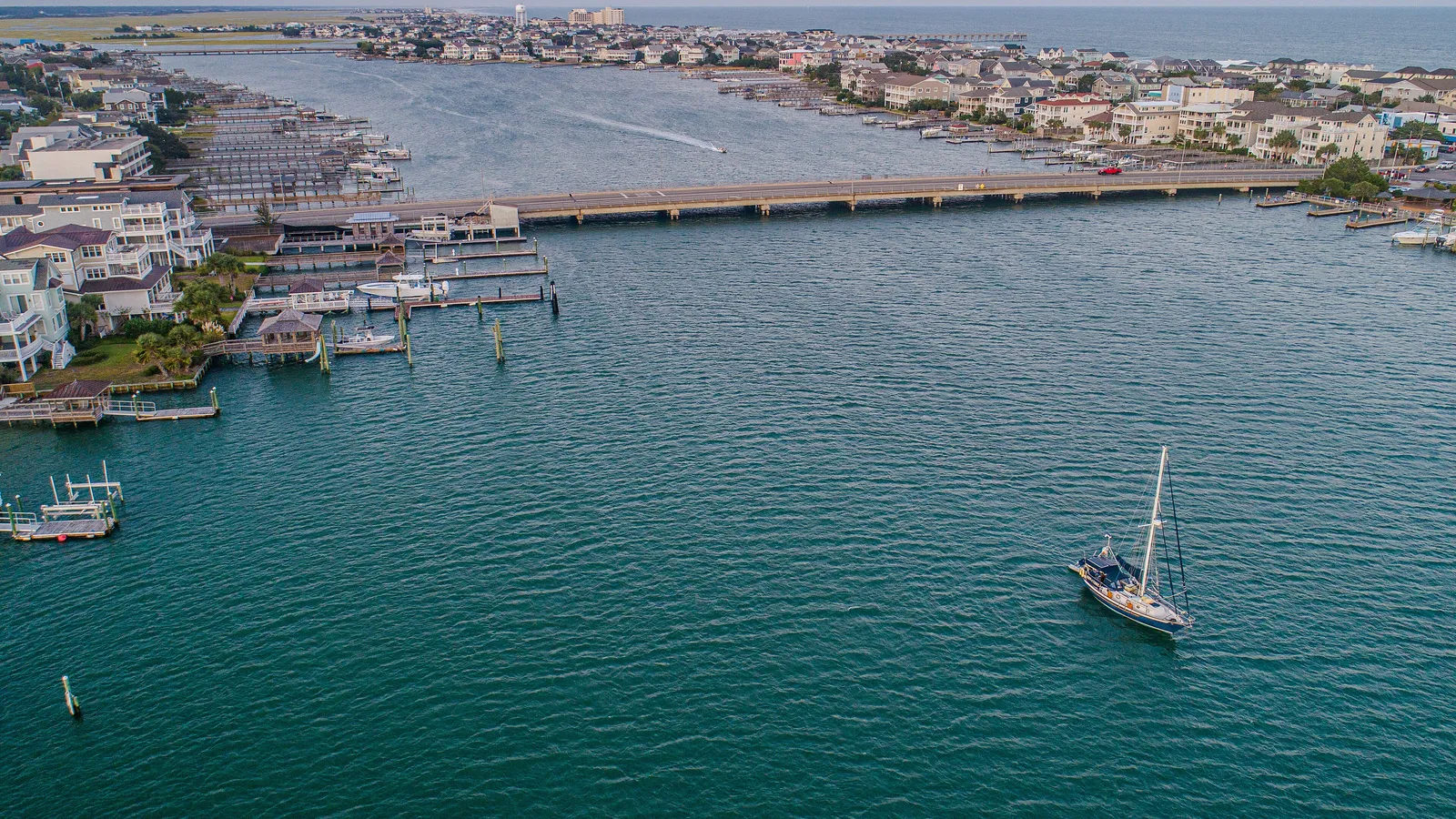

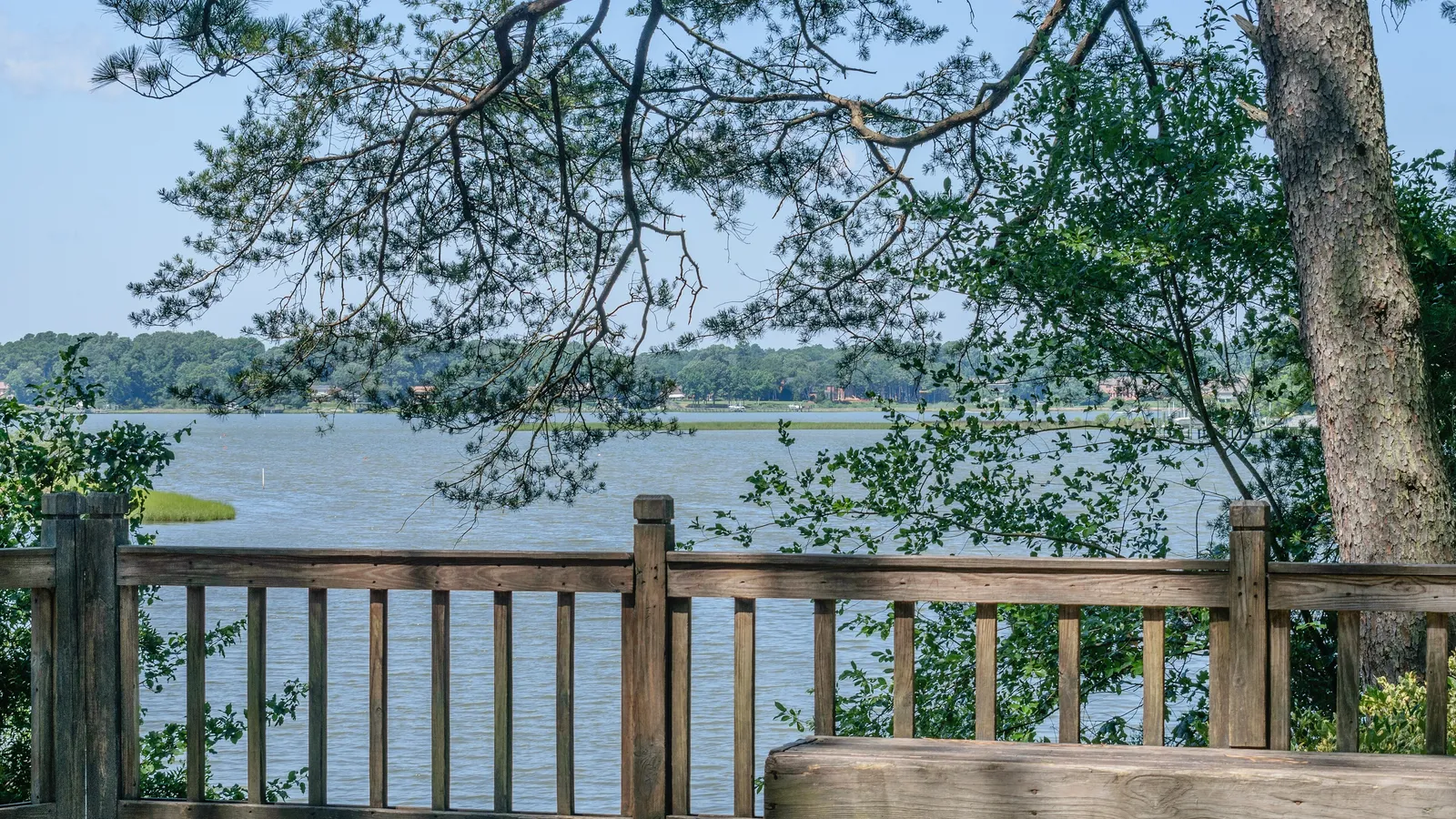
The best place to paddle board in Virginia Beach, especially for beginners, is the Narrows in First Landing State Park, where Broad Bay and Linkhorn Bay meet behind the dunes. For something wilder and quieter, drive south past Sandbridge to Back Bay National Wildlife Refuge and paddle along the marsh.
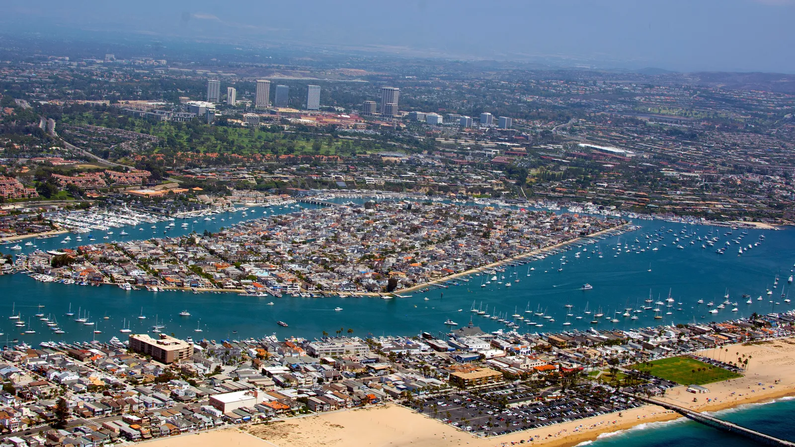
Virginia Beach works for paddling because the oceanfront is only half the story. Behind the beach is a maze of sheltered tidal bays, creeks and rivers (Broad Bay, Linkhorn Bay, the Lynnhaven River, Rudee Inlet) that stay much calmer than the Atlantic. The water gets properly warm in summer, and dolphins are a regular sight near the inlets.
Quick answer
- First time on a board: the Narrows boat ramp in First Landing State Park, paddling into Broad Bay.
- Rent and go: Chesapean Outdoors on Laskin Road, which launches rentals from its own docks.
- Wildlife and quiet: Back Bay National Wildlife Refuge, launching by the visitor center.
- Close to the oceanfront hotels: Owl Creek, off Rudee Inlet, next to the Virginia Aquarium.
- Experienced paddlers: the Lynnhaven River from the Lynnhaven Boat Ramp, timed with the tide.
The best places to paddle board in Virginia Beach
First Landing State Park: the Narrows and Broad Bay
Directions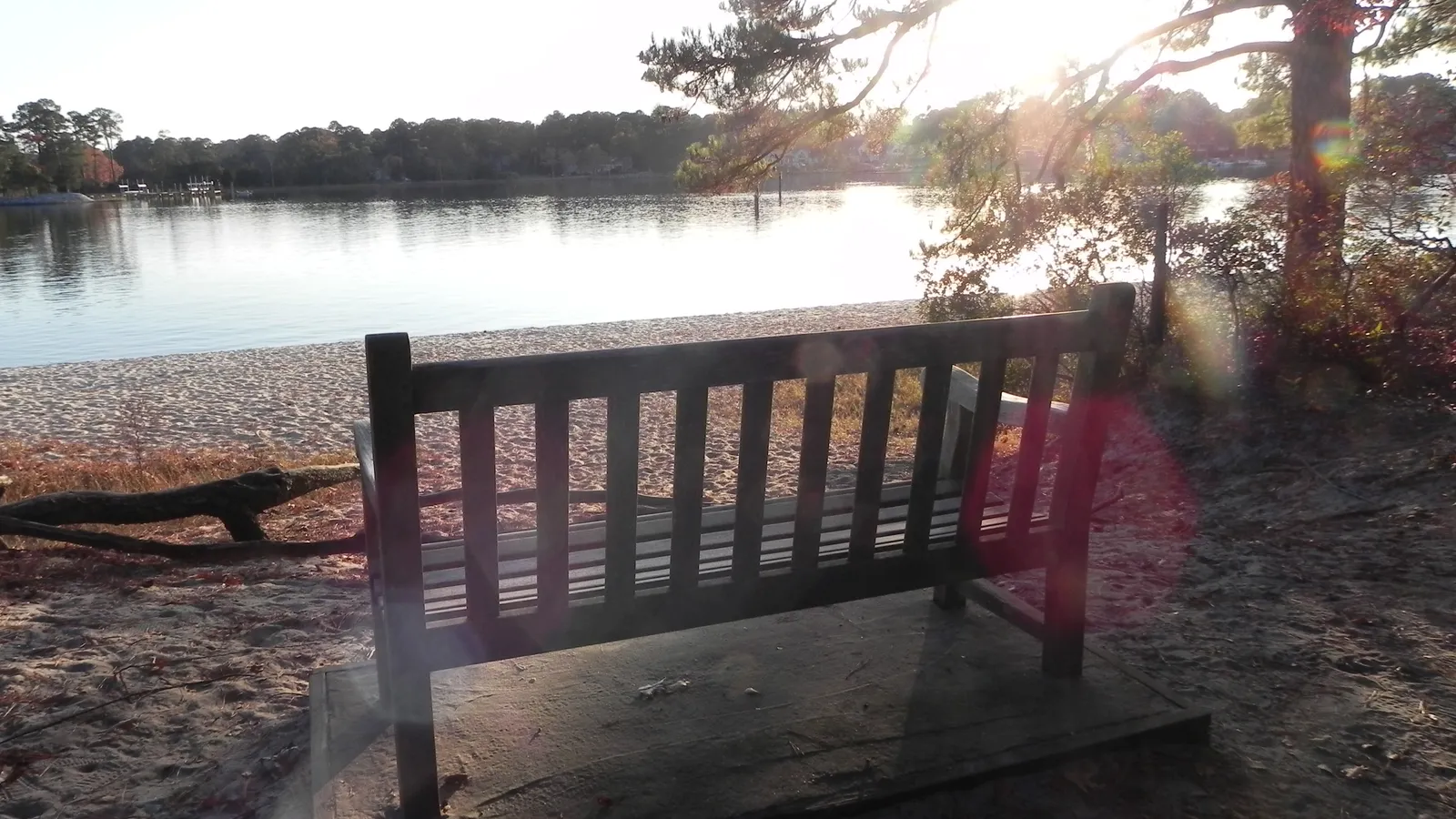
Best for: beginners, families, a scenic first paddle. Flat tidal water.
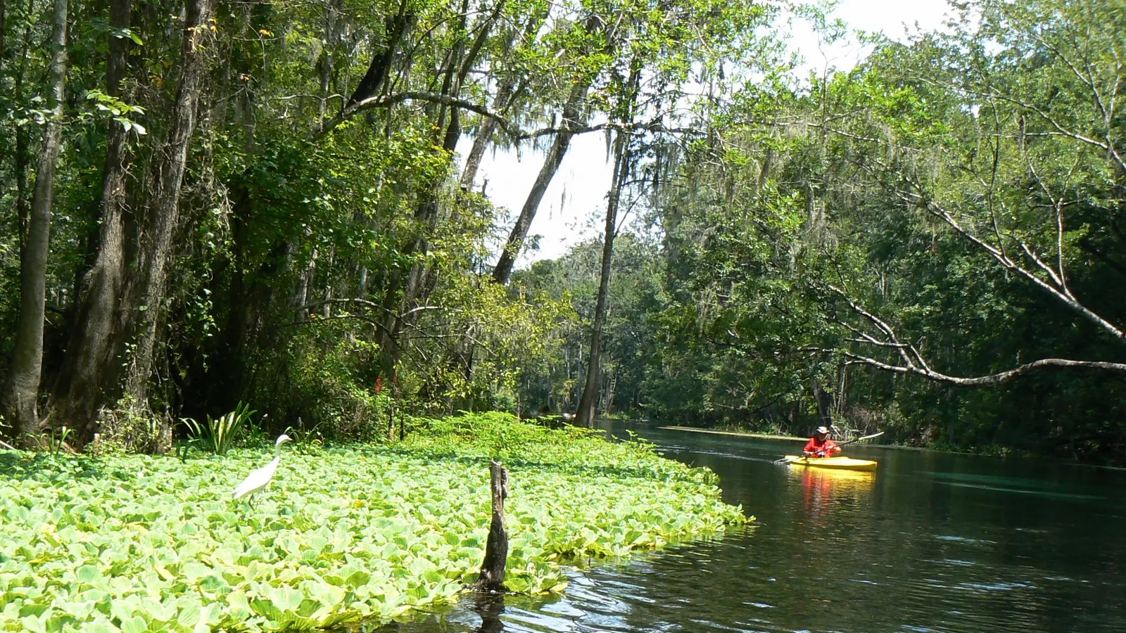
First Landing State Park’s south side wraps around Broad Bay, a sheltered saltwater bay lined with live oaks, pines and Spanish moss. The Narrows is the short, slim channel that links Broad Bay to Linkhorn Bay, and it’s the park’s paddling hub.
Where to launch: Use the park’s 64th Street entrance and follow the 64th Street extension to the Narrows boat ramp in the southern part of the park. There are launch ramps, car and trailer parking and restrooms. The park charges a parking fee (check the current rate on the Virginia State Parks site). From the ramp, turn into Broad Bay for the calmest, widest water.
Rentals and lessons: The park rents single and tandem kayaks through the Whenever Watersports app and kiosk. For paddle boards, see Chesapean Outdoors under Linkhorn Bay below.
Good to know: Virginia State Parks warns that the current in the Narrows is strong and advises against swimming there. On a board, that means paddling against the tide in the channel itself can be hard work; get out into Broad Bay rather than fighting it. The park’s 1.5 miles of Chesapeake Bay beach on the north side has no lifeguards and is open to ship traffic offshore, so it’s a different, more exposed paddle.
Linkhorn Bay
DirectionsBest for: renting a board and paddling straight from the dock. Flat tidal water.
Linkhorn Bay runs south from the Narrows toward Laskin Road, just a few blocks back from the oceanfront. It’s a residential bay with docks and wooded shorelines, and it’s sheltered from ocean swell.
Where to launch and rent: Chesapean Outdoors (600 Laskin Road, Virginia Beach, VA 23451), near 31st Street, rents stand-up paddle boards, kayaks and canoes by the hour and launches them from its own private docks. It also runs guided paddle board and kayak tours, including small-group sunset tours on Linkhorn Bay. Hourly rentals were in the $20–$40 range at the time of writing, depending on the boat and how long you keep it.
Good to know: You’ll share the bay with private boats from the waterfront homes. Stay near the shoreline and away from the middle of the channel.
Lynnhaven Inlet and the Lynnhaven River
Directions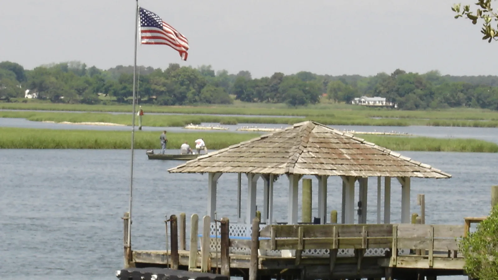
Best for: confident paddlers who can read tides. Tidal river and inlet with current.
The Lynnhaven River drains a broad network of marshy creeks and bays into the Chesapeake Bay through Lynnhaven Inlet, under the Lesner Bridge on Shore Drive. It’s a beautiful estuary of salt marsh, oyster reefs and wide water, but the inlet itself is a busy boat channel.
Where to launch: The city’s Lynnhaven Boat Ramp and Beach Facility (3576 Piedmont Circle, off Shore Drive) has four boat lanes plus a separate canoe and kayak launch area, restrooms, showers and a walkway under the Lesner Bridge to the Chesapeake Bay beach. Car parking was $4 per vehicle at the time of writing, with meters enforced April 1 to October 31. It’s open 24 hours. Trailer parking requires paying a launch fee.
What to avoid: The inlet channel and the bridge have strong tidal current and steady boat traffic. Paddle with the tide, hug the edges, and head into the quieter side creeks rather than out the inlet into the bay. Our guide to the best tide for paddle boarding explains how to plan around it.
Good to know: The Lynnhaven is known for its oysters and is popular with anglers, and watch your fins over shallow reefs at low tide.
Rudee Inlet and Owl Creek
Directions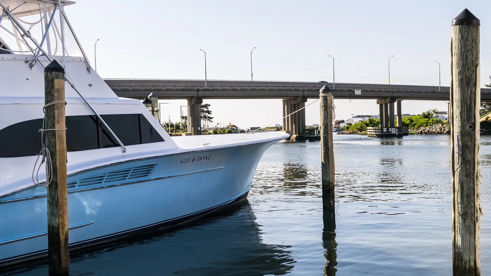
Best for: paddlers staying at the oceanfront, dolphin spotting on calm days. Tidal water; the inlet mouth opens to the ocean.
Rudee Inlet sits at the south end of the resort strip, by the Virginia Beach Fishing Center. Behind the inlet bridge, the water branches into Lake Rudee, Lake Wesley and Owl Creek, which are calmer than the inlet itself. The city’s tourism office points beginners here for its calm water.
Where to launch: The city’s Owl Creek Boat Ramp, off General Booth Boulevard next to the Virginia Aquarium, is free to use and open 24 hours. It has a dedicated launch for non-motorized boats, but the city lists that ADA kayak launch as temporarily closed for repairs; the floating docks and ramps are still open. Overflow parking across General Booth Boulevard was also unavailable at the time of writing.
What to avoid: Charter fishing boats run in and out of Rudee Inlet all day. Stay out of the main channel, and don’t paddle out between the jetties into the ocean unless you’re experienced and the surf is small. Fishing and crabbing aren’t allowed on the Owl Creek docks.
Back Bay National Wildlife Refuge
Directions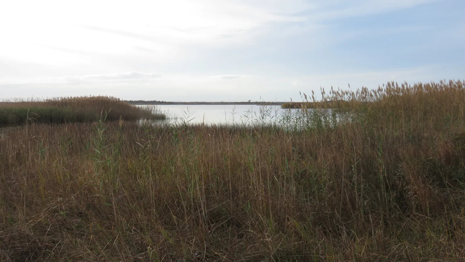
Best for: wildlife, solitude, birders. Shallow, flat water that gets choppy in wind.
Back Bay is a large, shallow bay south of Sandbridge, protected by a national wildlife refuge on the barrier spit between it and the ocean. It’s quiet, marshy and full of birds, especially waterfowl from late fall through winter.
Where to launch: The refuge has a soft earthen launch beside the Visitor Center (4005 Sandpiper Road) for kayaks, canoes and other boats you carry by hand. It’s for non-motorized craft only, and there’s no ramp for motorboats. A second launch, Horn Point (1008 Horn Point Road), is on the west side of the bay and opens from April 1 each year. The refuge charged $5 per vehicle for a day pass at the time of writing, with no fee from November 1 to March 31.
Rentals and lessons: Surf & Adventure Co (577 Sandbridge Road, Virginia Beach, VA 23456) rents paddle boards and runs kayak tours in the Sandbridge area.
Good to know: Back Bay is wide open to wind, and the shallow water kicks up a short chop fast. Pick a calm morning and stay close to shore. Visitor Center hours are limited (Thursday to Sunday, 10 a.m. to 3 p.m., from Memorial Day to Labor Day, and fewer days the rest of the year), so call the refuge if you need staff on site.
When to go
Virginia Beach has a long paddling season, and the sheltered bays warm up much faster than the ocean. NOAA’s long-term averages for Sewells Point, the nearest Hampton Roads station, put the water at about 43°F in January and February, 58°F in April, 67°F in May and 80°F in July and August, staying around 77°F in September.
- May to October: the main season. Water is warm enough for shorts by June, and early fall is often the best stretch: warm water, fewer people, and the parking meters stop on October 31.
- Winter and early spring: the water is cold enough to be dangerous if you fall in. Dress for immersion, not the air temperature; our wetsuit check tells you what to wear.
- Time of day: mornings are usually calmest. Afternoon sea breezes and summer thunderstorms are common, and Back Bay in particular gets rough quickly in wind.
- Tides: the bays and inlets here are tidal. Launch so you ride the current home, not fight it.
Planning a longer paddle? Our Trip time calculator estimates how long a route will take at your pace.
Rules and safety in Virginia Beach
The Virginia Department of Wildlife Resources treats a paddle board as a vessel whenever you’re outside a designated swim area or beyond the surf zone. That means:
- Life jacket: carry one wearable US Coast Guard–approved life jacket for each person. On federal waters, which covers most water in Virginia, children under 13 must wear one. See our pick of the best PFDs for SUP.
- Sound device: carry a whistle or other sound-producing device.
- After dark: have a flashlight or lantern showing a white light ready to show in time to prevent a collision.
A few local rules and habits on top of that:
- Watch for boats in the inlets. Lynnhaven Inlet and Rudee Inlet are working channels with charter and recreational traffic. Stay near the edges.
- Don’t swim or play in the Narrows current. The state park advises against swimming there.
- Dogs: First Landing allows pets on the beach on a leash no longer than 6 feet, with proof of rabies vaccination.
- Wear a leash on the board, especially in tidal current where a lost board drifts away fast.
FAQ
Where can beginners paddle board in Virginia Beach?
Start at the Narrows in First Landing State Park and paddle into Broad Bay, or rent a board from Chesapean Outdoors’ docks on Linkhorn Bay. Both are sheltered from ocean waves. Check the tide before you go and plan to come back with it.
Can you paddle board in the ocean at Virginia Beach?
Yes, but it’s open Atlantic surf with currents, so it suits experienced paddlers only. Beginners will have a much better time on the bays behind the beach. Read how to paddle board in the ocean first.
Do I need a permit to paddle board in Virginia Beach?
No permit is needed to paddle. You’ll pay for parking at First Landing State Park and the Lynnhaven Boat Ramp, and an entrance fee at Back Bay National Wildlife Refuge from April through October. The Owl Creek Boat Ramp is free.
Where can I rent a paddle board in Virginia Beach?
Chesapean Outdoors on Laskin Road rents boards by the hour from its own docks on Linkhorn Bay, and Surf & Adventure Co on Sandbridge Road rents boards near Back Bay.
Can I bring my dog paddle boarding in Virginia Beach?
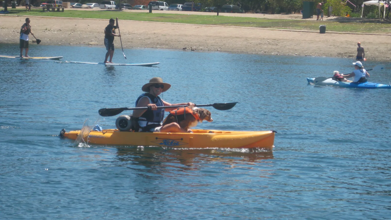
At First Landing State Park, leashed dogs are allowed on the beach, so the Narrows is a reasonable place to try. Start in calm water and read how to paddle board with a dog before your first trip together.
Not sure which board suits these sheltered bays? Our Board Fitter recommends a size for your weight and the water you’ll paddle.