



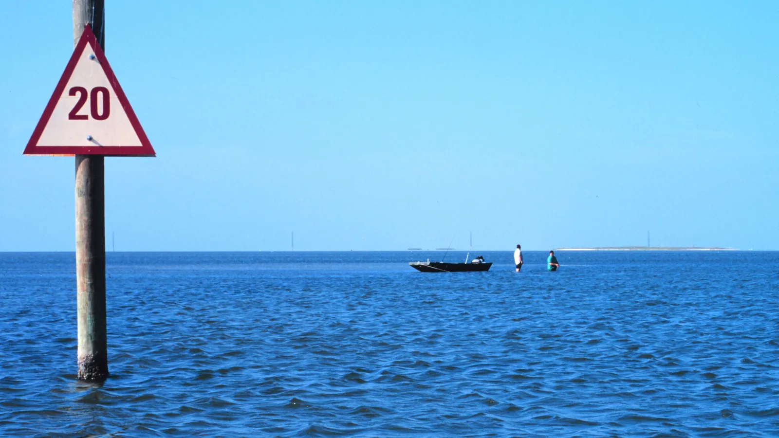
The best place to paddle board in Corpus Christi for beginners is Bird Island Basin on the Laguna Madre, inside Padre Island National Seashore: the water is warm, shallow and sandy, and you can rent a board on the beach. For exploring, the Mustang Island and Lighthouse Lakes paddling trails wind through seagrass flats, marsh and mangroves on the way to Port Aransas.
Corpus Christi works for paddling because it’s surrounded by shallow, protected bays and lagoons, and the water is warm for most of the year. The catch is wind. The National Park Service calls Bird Island Basin a premier windsurfing spot because of its steady wind, and that same wind can make the paddle home hard work. Go early, start upwind, and check the forecast before every trip.
Quick answer
- First time on a board: Bird Island Basin, with rentals from Worldwinds on site.
- Right in the city: the Oso Bay paddling trail from Turtle Cove at Texas A&M University–Corpus Christi.
- Most scenic: the Lighthouse Lakes Paddling Trail, through black mangroves near the 1857 Lydia Ann Lighthouse.
- Long day out: the Mustang Island Paddling Trail along the west side of Mustang Island.
- Avoid: paddling in the Gulf surf unless you’re experienced, and the dredge-spoil bird islands from February to August.
The best places to paddle board in Corpus Christi
Bird Island Basin (Padre Island National Seashore)
DirectionsBest for: beginners, families and windy-day lessons. Flat, shallow lagoon.
Bird Island Basin is the paddling and windsurfing area of Padre Island National Seashore, on the Laguna Madre side of the island. The National Park Service says the lagoon averages only about 4.5 feet deep, with sandy bottom and protected areas that suit beginners. Out to the west, the Gulf Intracoastal Waterway shipping channel marks the park’s boundary.
Where to launch: The Bird Island Basin day-use area, which the park calls the easiest launch for paddlers. You need a park entrance pass ($15 to $25 for a standard pass at the time of writing, or $45 for an annual pass). The boat ramp has a separate $5 daily fee; paddlers launching from the beach should check with the park whether it applies.
Rentals and lessons: Worldwinds Windsurfing, the park’s authorized concessioner at Bird Island Basin, rents kayaks and stand-up paddle boards as well as windsurf gear.
Good to know: Motorboats aren’t allowed in the designated windsurfing area, but windsurfers move fast; keep a lookout. Stay well clear of the Intracoastal Waterway, where barges and large boats run. North Bird Island, South Bird Island and all the dredge-spoil islands in the park are closed from February 1 to August 31 to protect nesting birds.
Mustang Island Paddling Trail
Directions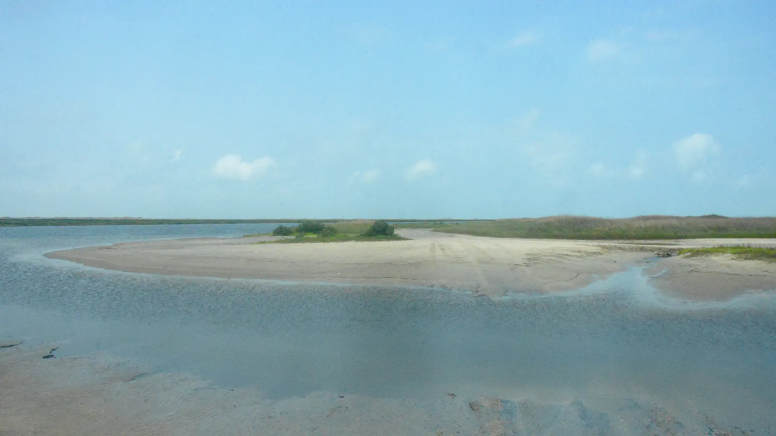
Best for: fishing, birding and longer paddles. Flat, shallow bay water.
This Texas Paddling Trail runs along the west, bay side of Mustang Island in Corpus Christi Bay. It has three parts: the 5.24-mile Shamrock Loop, the 6.8-mile Ashum Trail and the 8.5-mile North Trail toward Port Aransas. TPWD describes the water as some of the best shallow-water fishing in Texas, with a firm sand bottom along the Ashum Trail.
Where to launch: For a loop that needs no shuttle, start at Wilson’s Cut, on the west side of Highway 361 about 8.4 miles from the Port Aransas ferry dock. The entrance road is sandy, so a higher-clearance vehicle helps, and it crosses private property that’s left open; stay near the put-in. The Ashum Trail starts at Fish Pass in Mustang Island State Park, where adult entry is $7 a day at the time of writing.
Good to know: TPWD warns paddlers to watch for faster powerboats and oyster reefs, and to check the tide, because parts of the trail can be too shallow at low tide. Wear shoes; oyster shell cuts.
Lighthouse Lakes Paddling Trail (Aransas Pass)
Directions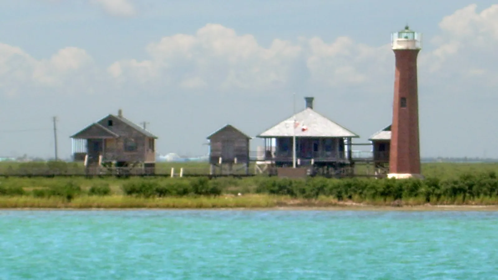
Best for: scenery and exploring. Flat, shallow tidal channels.
Lighthouse Lakes was the first Texas Paddling Trail, mapped in 1999. Its four loops, from 1.25 to 6.8 miles, wind through head-high black mangroves, sloughs and open flats near the 1857 Lydia Ann Lighthouse on North Harbor Island. The whole area is part of the Redfish Bay State Scientific Area, which protects its seagrass beds.
Where to launch: The city-maintained Lighthouse Lakes Trail Park on the north side of the Highway 361 causeway, about 5 miles from the HEB in Aransas Pass. From there you cross the Aransas Channel to reach the Cutters, South Bay and Redfish loops.
Good to know: Commercial and recreational boats have right of way in the Aransas (or “Shrimp Boat”) Channel; cross quickly, and only when it’s clear. TPWD says it’s easy to get lost in the mangrove maze, so bring a trail map and a GPS or phone app. Strong southeasterly winds are common here.
Oso Bay (Ron R. Smith Memorial Paddling Trail)
Directions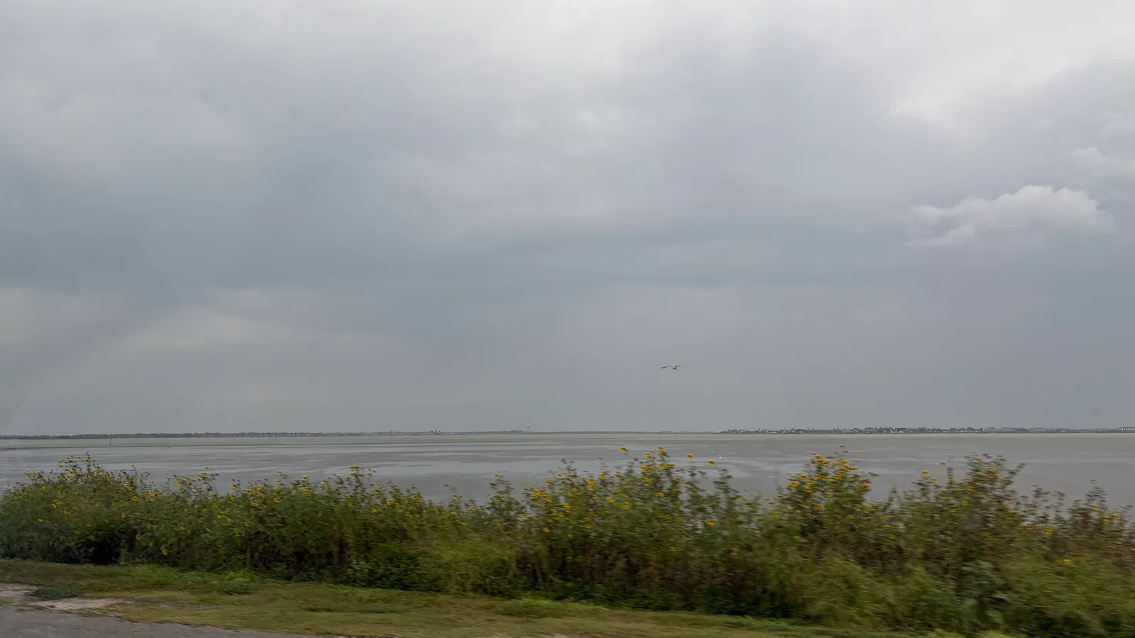
Best for: a short paddle without leaving the city. Flat, shallow bay water.
This paddling trail starts at Turtle Cove on the Texas A&M University–Corpus Christi campus. Go left for an easy 2-mile loop around the small island, or south for a 5-mile round trip to the Highway 358 bridge. You’ll see herons, egrets, pelicans and roseate spoonbills on the flats.
Where to launch: Turtle Cove, with parking in the Turtle Cove lot on Dolphin Lane (fees may apply; check the signs).
Rentals: TPWD lists Wind and Wave (361-937-9283) for kayak and gear rentals; there’s no delivery, so you’ll need to carry the gear yourself.
Good to know: Oso Bay can be very shallow, so check the tide. TPWD recommends going in the morning, when the wind is usually lighter, and warns that bacteria levels in the bay can sometimes be high. Avoid it after heavy rain.
When to go
Corpus Christi is warm-water country. NOAA’s tide station at the USS Lexington on Corpus Christi Bay recorded monthly average water temperatures of about 55°F in January 2025 and about 88°F in August 2025.
- Spring (March–May): water warming into the 70s. Mornings are your best chance of calm water.
- Summer (June–September): very warm water and strong sun. Paddle early, drink plenty of water, and watch for afternoon storms. Hurricane season runs June to November.
- Fall (October–November): water still in the 70s and 80s, and fewer people. A good time to paddle.
- Winter: cool water, and blustery days when cold fronts pass through. Our wetsuit check uses water and air temperature to suggest what to wear.
Doing a full loop on one of the trails? Our Trip time calculator estimates how long it will take, but allow extra time for headwind.
Rules and safety in Corpus Christi
Texas treats a paddle board as a vessel. According to Texas Parks and Wildlife:
- Life jacket: carry a US Coast Guard–approved life jacket for each person. Children under 13 must wear one while underway on any vessel under 26 feet, as Padre Island National Seashore also reminds visitors. See our pick of the best PFDs for SUP.
- Sound device: carry a whistle or similar.
- After dark: show a white light from sunset to sunrise.
Local rules and hazards:
- Bird islands closed February 1 to August 31 in Padre Island National Seashore. Don’t land on them.
- Seagrass protection: in the Redfish Bay State Scientific Area, it’s illegal to uproot or destroy seagrass. Don’t drag fins or anchors through it.
- Shipping channels: keep clear of the Intracoastal Waterway and the Aransas Channel, where boats have right of way.
- Wind and sun: start upwind so the wind helps you home, and wear sun protection.
- The Gulf: the park says sea kayaking in the Gulf isn’t recommended for beginners because of currents, wind and waves. The same goes for paddle boards; read how to paddle board in the ocean first.
FAQ
Where can beginners paddle board in Corpus Christi?
Bird Island Basin on the Laguna Madre. It’s shallow, sandy and warm, and Worldwinds rents boards on site. In town, the 2-mile loop on Oso Bay is another easy option on a calm morning.
Do I need a permit to paddle board in Corpus Christi?
No paddling permit is needed. You’ll need a Padre Island National Seashore entrance pass at Bird Island Basin and a day pass at Mustang Island State Park.
Is it too windy to paddle board in Corpus Christi?
It can be. Plan to paddle at sunrise or in the morning, pick sheltered water, and kneel if the wind picks up.
Can I paddle to the Lydia Ann Lighthouse?
The Lighthouse Lakes trails pass near it, but the channels are a maze. Bring a map and GPS, and remember the Aransas Channel crossing at the start.
Are there other good paddling spots in Texas?
Yes. See our guides to Houston and Austin.
Not sure what size board you need for windy, shallow water? Try our Board Fitter.