
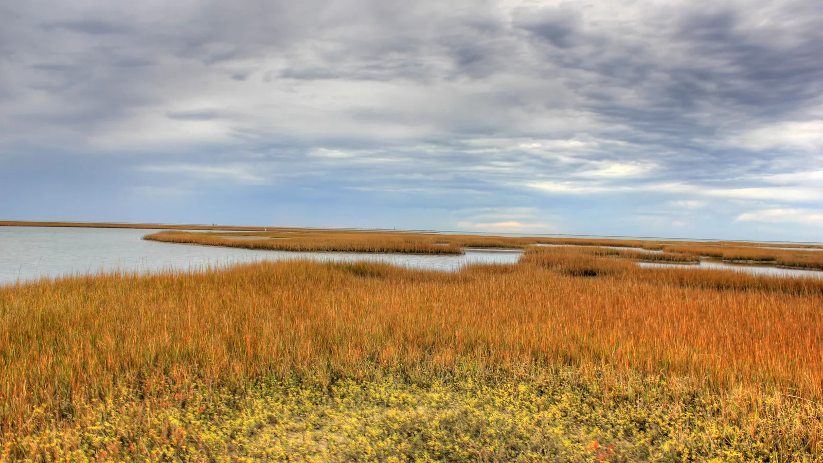
The best place to paddle board in Galveston is the bay side of Galveston Island State Park, where Texas Parks and Wildlife has marked three loop paddling trails behind breakwaters. For a first paddle, take the short Dana Cove trail; for a longer, wilder day, cross San Luis Pass to the Christmas Bay paddling trail, a shallow bay that Texas Parks and Wildlife calls pristine.
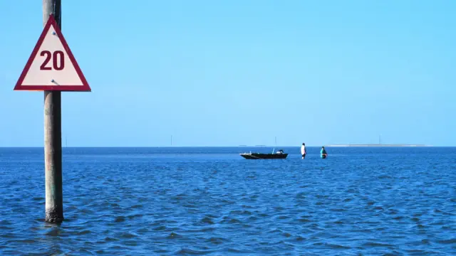
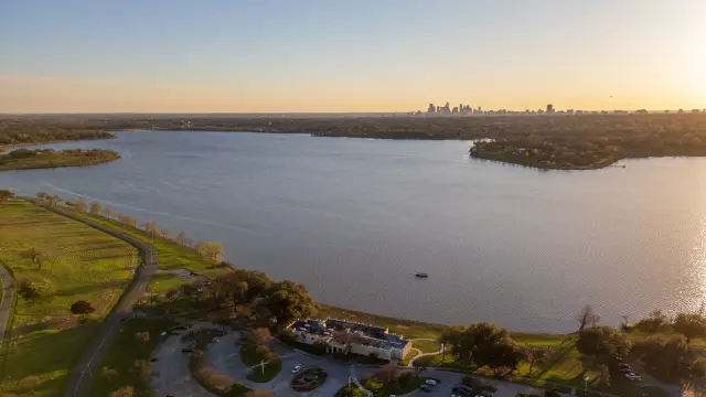
Galveston works for paddling because the island is backed by shallow bays, marsh and seagrass that stay calm when the Gulf is rough. The Gulf side has sand beaches and surf, but most paddle boarders will have a better day on the bay side, where you can see herons, shorebirds and redfish in water often shallow enough to stand in.
If you’re coming from Houston, our Houston guide has a quick overview of the state park. This guide goes into each trail in more detail and adds Christmas Bay.
Quick answer
- First time on a board: the Dana Cove trail (2.6 miles) in Galveston Island State Park, behind a breakwater.
- A longer paddle: the Oak Bayou trail (4.8 miles), out to the marsh restoration terraces.
- Small and sheltered: the Jenkins Bayou trail (2.8 miles), starting by a freshwater pond.
- Wild and remote: Christmas Bay, with marked loops of 3.8 and 10.3 miles, west of San Luis Pass.
- Guided trips: the state park’s volunteer kayak tours, or Artist Boat’s eco-art kayak adventures.
The best places to paddle board in Galveston
Dana Cove trail (Galveston Island State Park)
Directions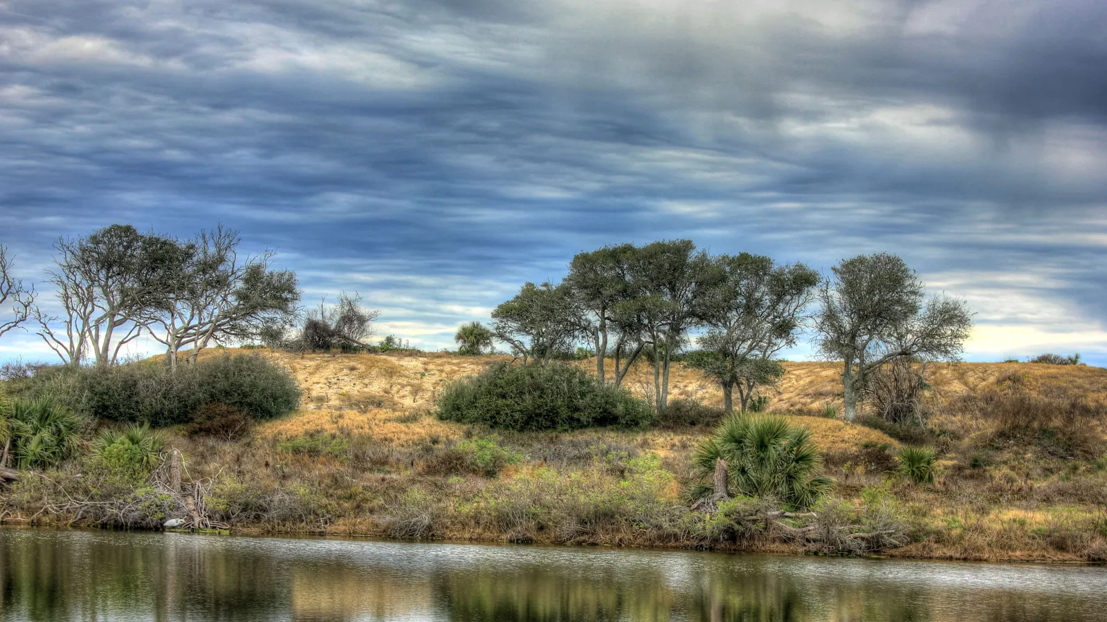
Best for: beginners, a short loop. Sheltered, shallow bay water.
The Dana Cove trail starts at Lake Como, at the end of the main park road, and loops 2.6 miles through shallow water behind a constructed breakwater, where seagrass beds have grown back. It crosses Dana Cove and returns to the put-in, so you don’t need a shuttle.
Where to launch: The put-in at the end of the main park road. The park charges a daily entry fee ($5 per adult at the time of writing), and it often reaches capacity, so the park recommends reserving day use in advance.
Good to know: Seagrass beds are easily damaged. In very shallow water, step off and walk your board rather than dragging the fin through the grass.
Oak Bayou trail (Galveston Island State Park)
Directions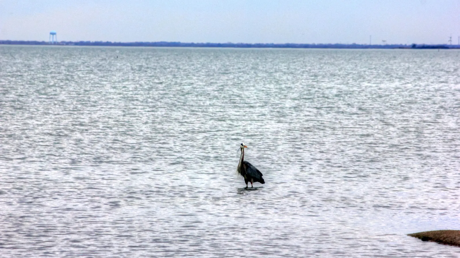
Best for: a longer paddle and birdwatching. Sheltered bay water.
The 4.8-mile Oak Bayou trail is the longest of the park’s three. It starts near the boardwalk off the main park road, follows an inlet of Galveston Bay out to the geotextile breakwater, and crosses to the marsh restoration terraces, where planted marsh gives cover to small fish and shorebirds. It then turns down another inlet and loops back to the put-in.
Where to launch: The put-in near the boardwalk along the main park road.
Good to know: This trail reaches more open water than Dana Cove. If the wind is up on Galveston Bay, stick to the shorter trails. Bring plenty of water; there’s little shade on the marsh.
Jenkins Bayou trail (Galveston Island State Park)
Directions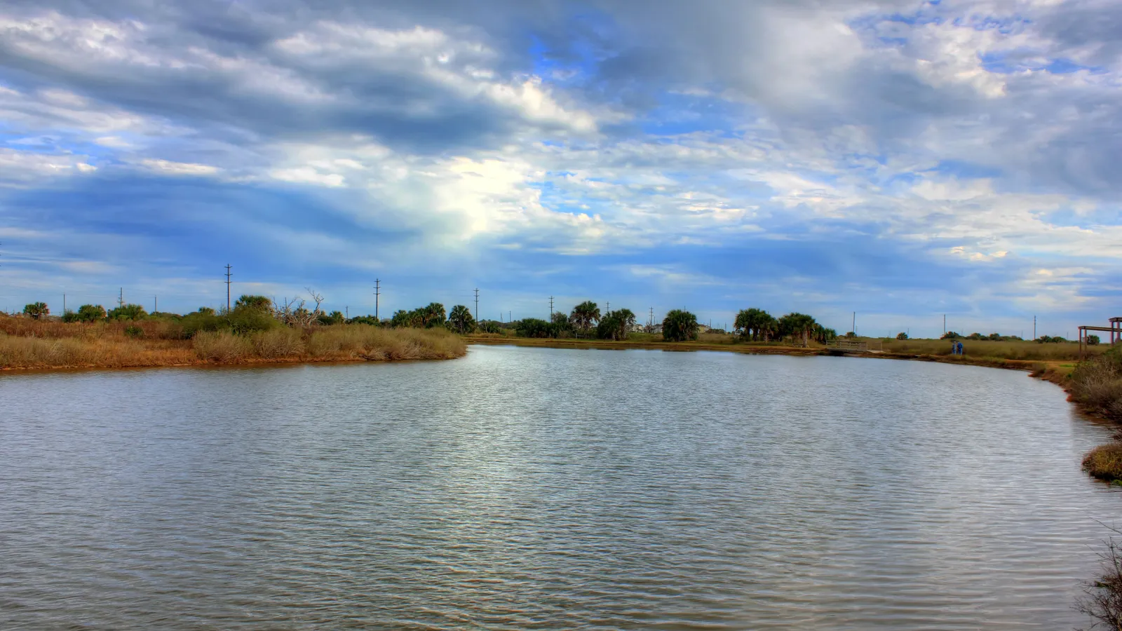
Best for: a quiet, small-water loop. Sheltered bayou.
The Jenkins Bayou trail starts at the west end of Clapper Rail Road, next to a freshwater pond. It follows a small inlet, loops through the marsh and out toward the restoration terraces, and returns to the put-in after about 2.8 miles.
Where to launch: The put-in at the western end of Clapper Rail Road.
Rentals and lessons: The park doesn’t list paddle board rentals. Park staff and the Friends of Galveston Island State Park lead scheduled kayak tours for groups of up to 15, first come, first served; check the park’s events calendar or call 409-737-1222 for private tours. Artist Boat, a Galveston nonprofit, runs four-hour public eco-art kayak adventures ($75 per person at the time of writing, tandem kayaks and life jackets included).
Good to know: Fishing is popular across the park, and you can fish from shore inside a state park without a fishing license. Watch for anglers wading the shallows.
Christmas Bay
DirectionsBest for: experienced paddlers, anglers and birders. Shallow, sheltered bay.
Christmas Bay is a shallow, 4,173-acre bay at the south-west end of the Galveston Bay system, across San Luis Pass from the west end of Galveston Island. Texas Parks and Wildlife describes it as having good water quality, oyster reefs and salt marsh, and as largely unaltered by people. The Brazoria National Wildlife Refuge lines its northern shore, and the bay is a TPWD Coastal Preserve and fish nursery area.
The trail: The Christmas Bay paddling trail is 19.1 miles in total, marked by 29 numbered GPS markers along Churchill Bayou and Titlum Tatlum Bayou. Most people paddle one of the shorter loops: 3.8 miles or 10.3 miles from marker 1.
Where to launch: San Luis County Park (14001 County Road 257, Freeport), on the right side of the Bluewater Highway just after you cross the San Luis Bridge from Galveston; follow the dirt road down to the park and boat dock. The trail’s other access point is at Amigo Lane (515 Amigo Lane, Freeport), where the bait camp has closed.
Good to know: TPWD says the bay is so shallow that most paddlers can stand up in most of it, and powerboat traffic is minimal. Shuffle your feet when you step off your board to avoid stepping on a stingray. Bring sunscreen, water and insect repellent.
When to go
You can paddle Galveston year-round. NOAA’s long-term averages at the Galveston Bay entrance put the water at about 56–58°F in January and February, 72°F in April, 84–87°F from June to August and 77°F in October.
- Spring (March–May) and fall (October–November): the most comfortable time. Warm water and milder air.
- Summer (June–September): very warm water and hot, humid days. Paddle early, carry plenty of water, and watch for afternoon thunderstorms.
- Winter: cool water and cooler, windier days. Wear a wetsuit on cold days; our wetsuit check uses water and air temperature to tell you what to wear.
- Hurricane season: June 1 to November 30. Watch the forecast.
- Wind and tide: the marsh trails get very shallow at low tide, and wind on Galveston Bay can build quickly. Check both before you go.
Planning one of the longer loops? Our Trip time calculator estimates how long it will take at your pace.
Rules and safety in Galveston
Texas treats a paddle board as a vessel. According to Texas Parks and Wildlife:
- Life jacket: carry a US Coast Guard–approved life jacket for each person on board. Children under 13 must wear one at all times. See our pick of the best PFDs for SUP.
- Sound device: carry a whistle or similar.
- After dark: show a white light visible all around between sunset and sunrise, or in poor visibility.
Local rules and habits on top of that:
- Stay out of San Luis Pass. The pass between Galveston Island and Follet’s Island connects the bays to the Gulf, with strong tidal currents. Paddle the bays on either side, not the pass.
- Watch for stingrays whenever you step off your board in the shallows; shuffle your feet.
- Protect the seagrass and oyster reefs. Walk your board through very shallow water rather than dragging the fin.
- Give birds space, especially nesting and roosting flocks on the marsh.
- Clean, drain and dry your board before you use it in fresh water. TPWD requires all boats, including paddle boards, to be drained before leaving or approaching fresh water.
FAQ
Where can beginners paddle board in Galveston?
The Dana Cove trail at Galveston Island State Park. It’s a 2.6-mile loop behind a breakwater, starting at the end of the main park road, and the water is usually calm and shallow.
Can you rent a paddle board in Galveston?
We couldn’t verify a paddle board rental on the bay side of the island. Galveston Island State Park and Artist Boat run guided kayak trips. If you need a board, rent in Houston (see our Houston guide) or bring your own.
Can you paddle board in the Gulf at Galveston?
Experienced paddlers do, but the Gulf side has surf and currents, and it’s exposed to wind. Read how to paddle board in the ocean first, stay out of swim areas, and avoid the jetties and passes.
Do I need a permit to paddle board in Galveston?
No permit to paddle. You pay the daily entry fee at Galveston Island State Park, and the park recommends reserving day use because it often fills up.
How warm is the water in Galveston?
NOAA’s averages at the Galveston Bay entrance are about 86–87°F in July and August, about 72°F in April and about 56°F in January.
More paddling near Galveston
Not sure which board to rent or buy? Our Board Fitter suggests a size for your weight and the water you’ll paddle. For the best weather to head out, see the best conditions for paddle boarding.