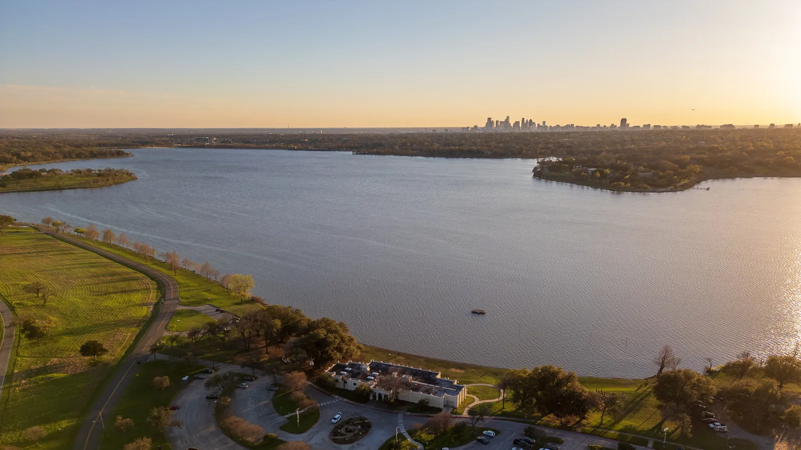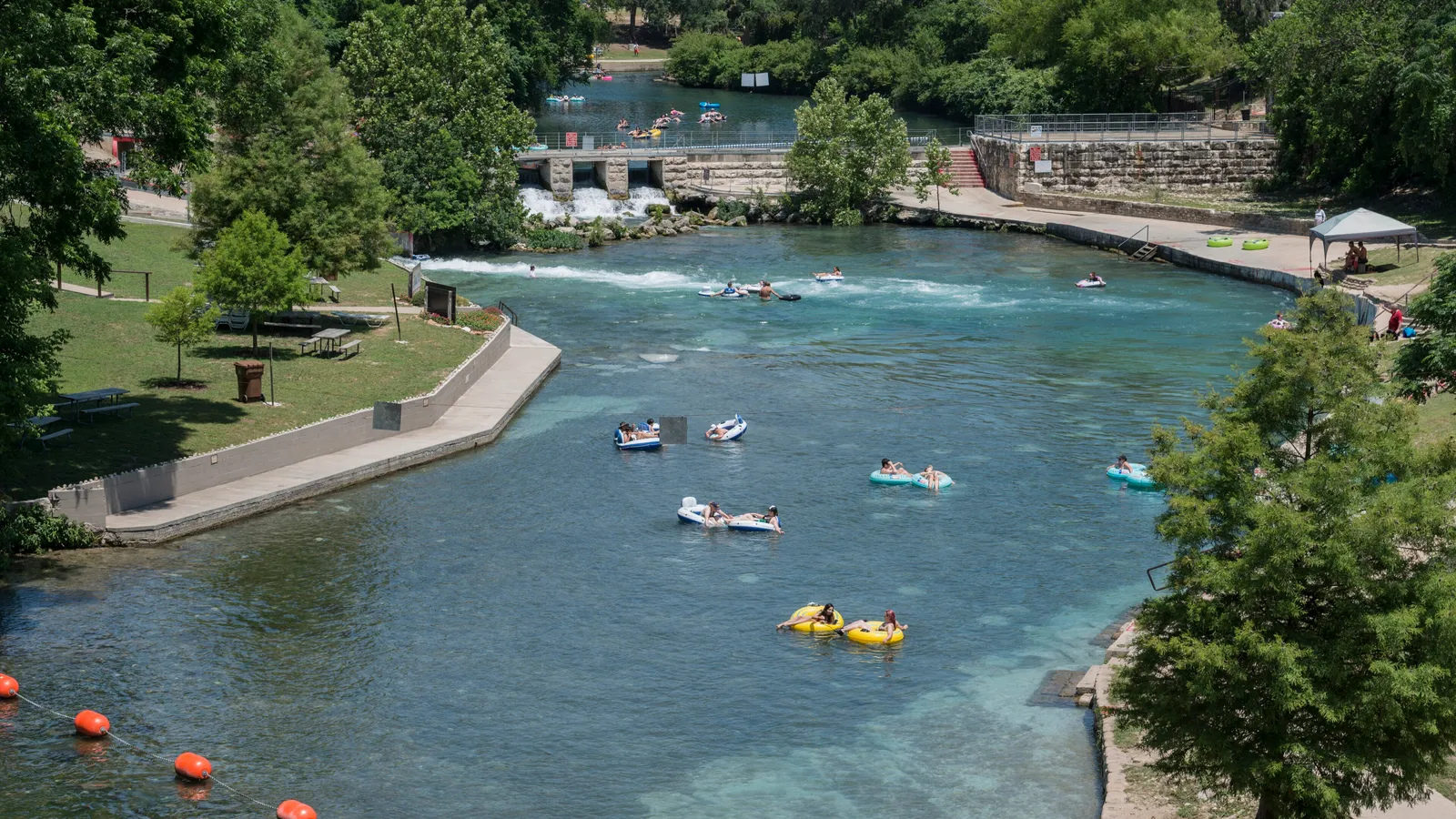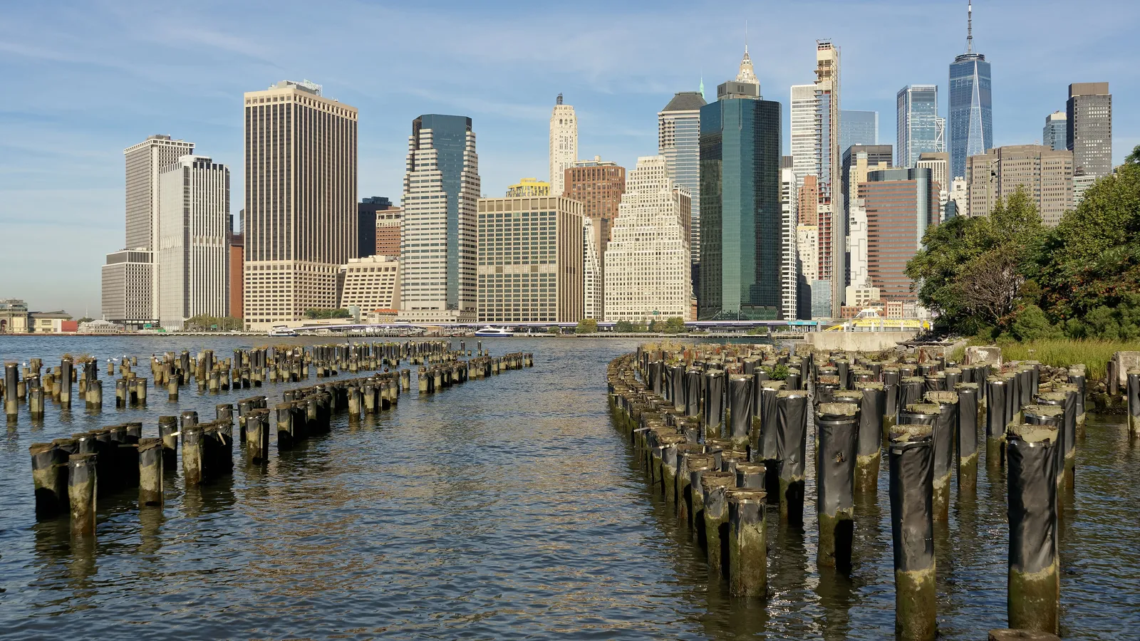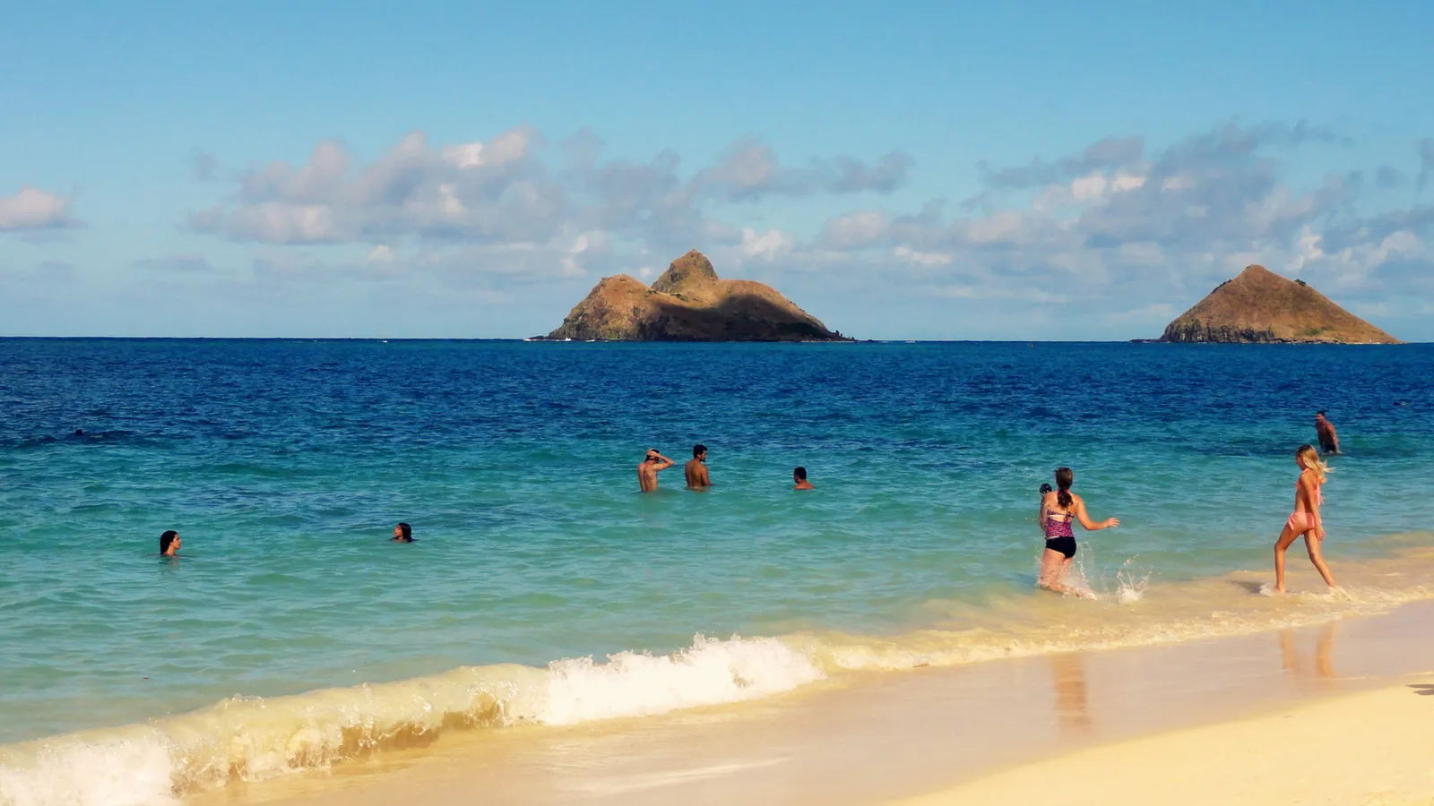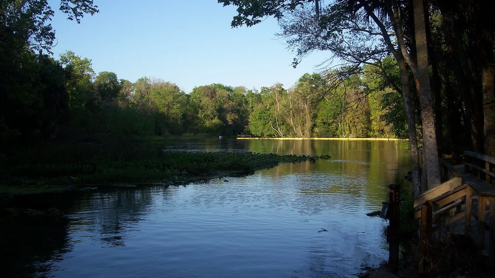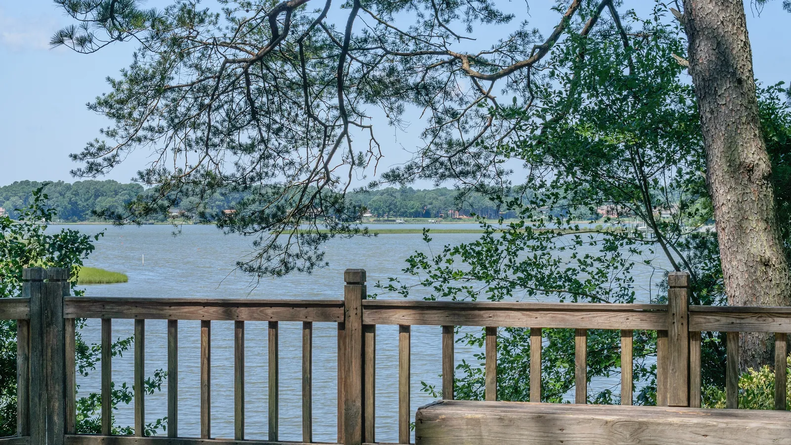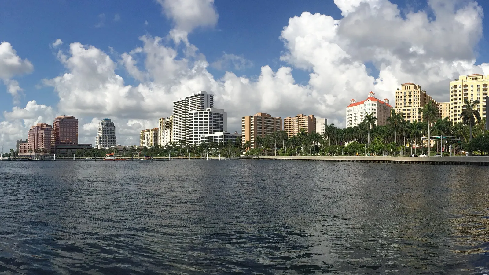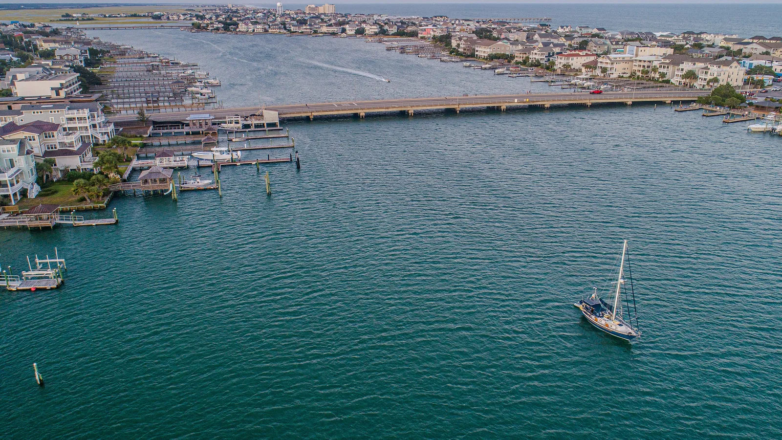

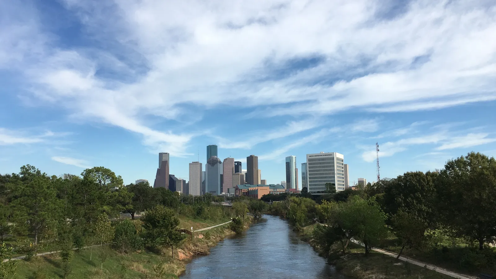
For a first paddle in Houston, go to Armand Bayou: the upper bayou is closed to powerboats, the water is usually flat, and you’ll see far more herons than people. For the classic city paddle, rent a board or join a skyline tour on Buffalo Bayou from Allen’s Landing downtown; for calm salt water, drive an hour to the paddling trails at Galveston Island State Park.
Houston is flat and full of water. Slow bayous wind right through the city, Galveston Bay’s marshes are under an hour away, and big lakes sit to the north. The paddling season is long because it’s warm most of the year. What you plan around is heat, summer storms and water quality after rain.
Quick answer
- First time on a board: Armand Bayou, launching at Bay Area Park and paddling upstream into the no-powerboat stretch.
- City views: Buffalo Bayou downtown, from Allen’s Landing, with rentals and guided skyline tours.
- Calm salt water and birds: the three paddling trails at Galveston Island State Park.
- A big lake: Lake Conroe, best in the quieter northern end near Sam Houston National Forest.
- Longer river trip: Buffalo Bayou from Woodway in Memorial Park toward downtown, for experienced paddlers.
The best places to paddle board in Houston
Buffalo Bayou downtown (Allen’s Landing)
Directions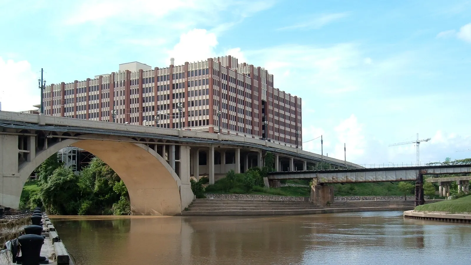
Best for: skyline views, tours and a first look at the bayou. Slow-moving bayou.
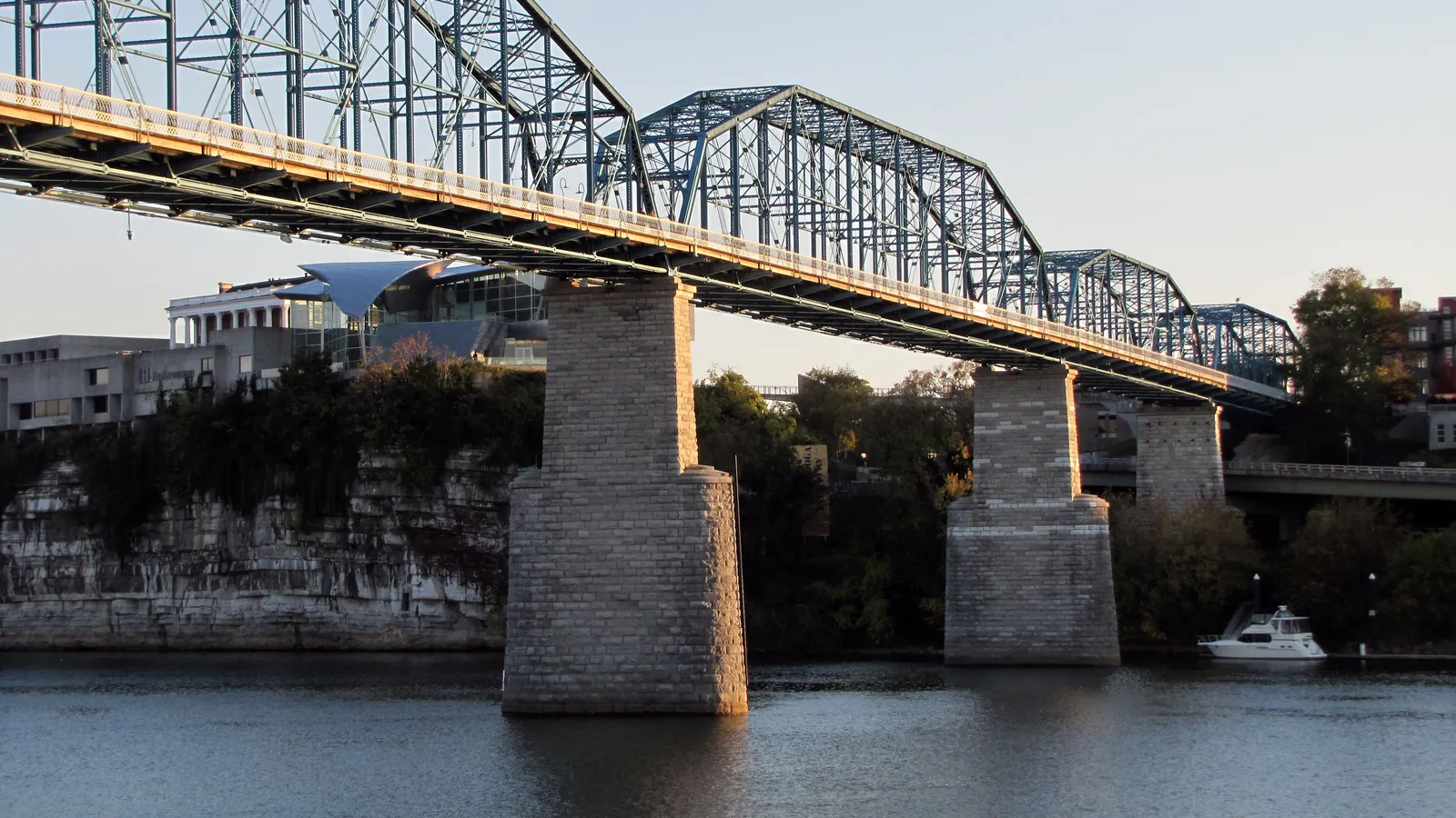
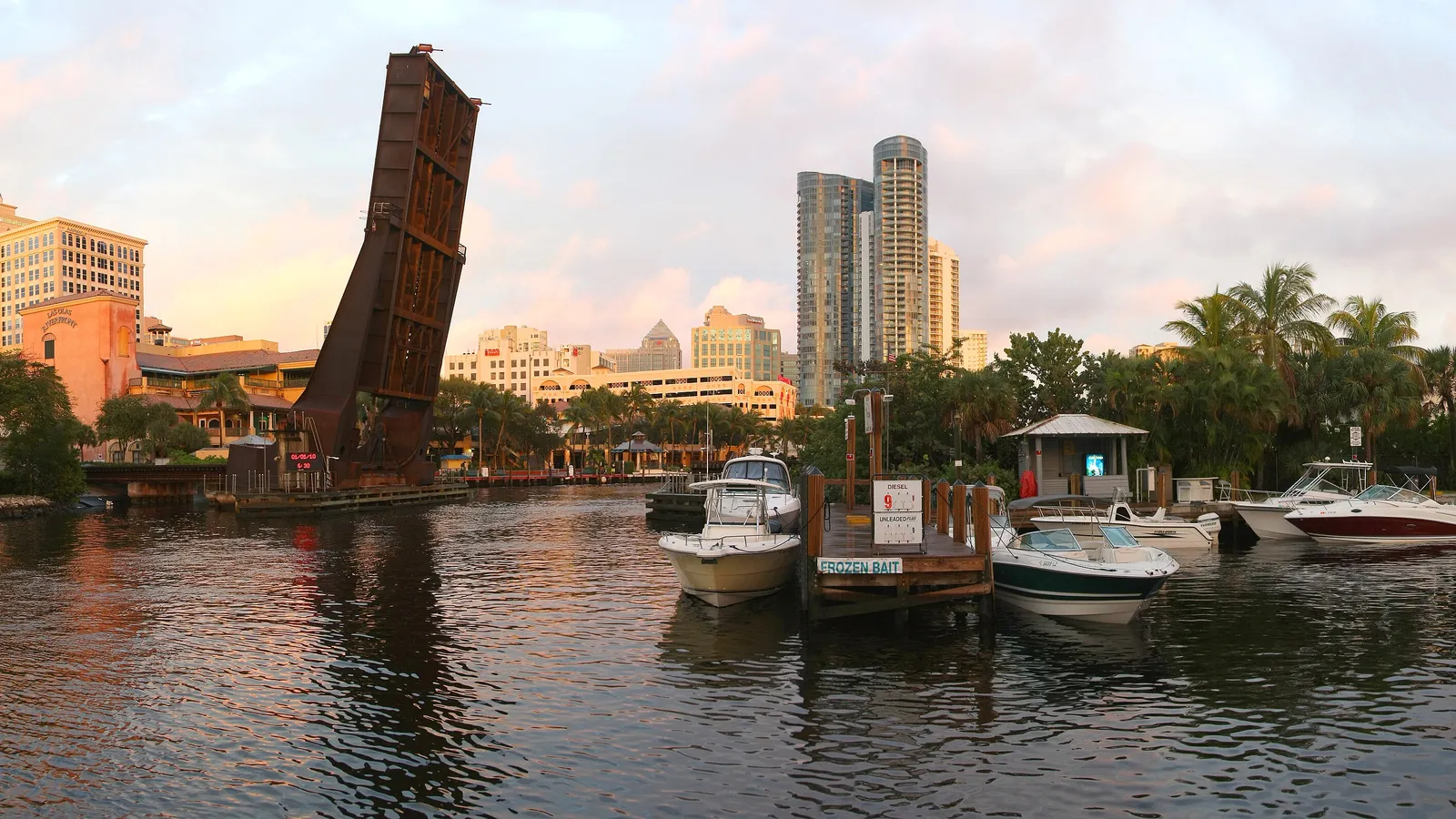
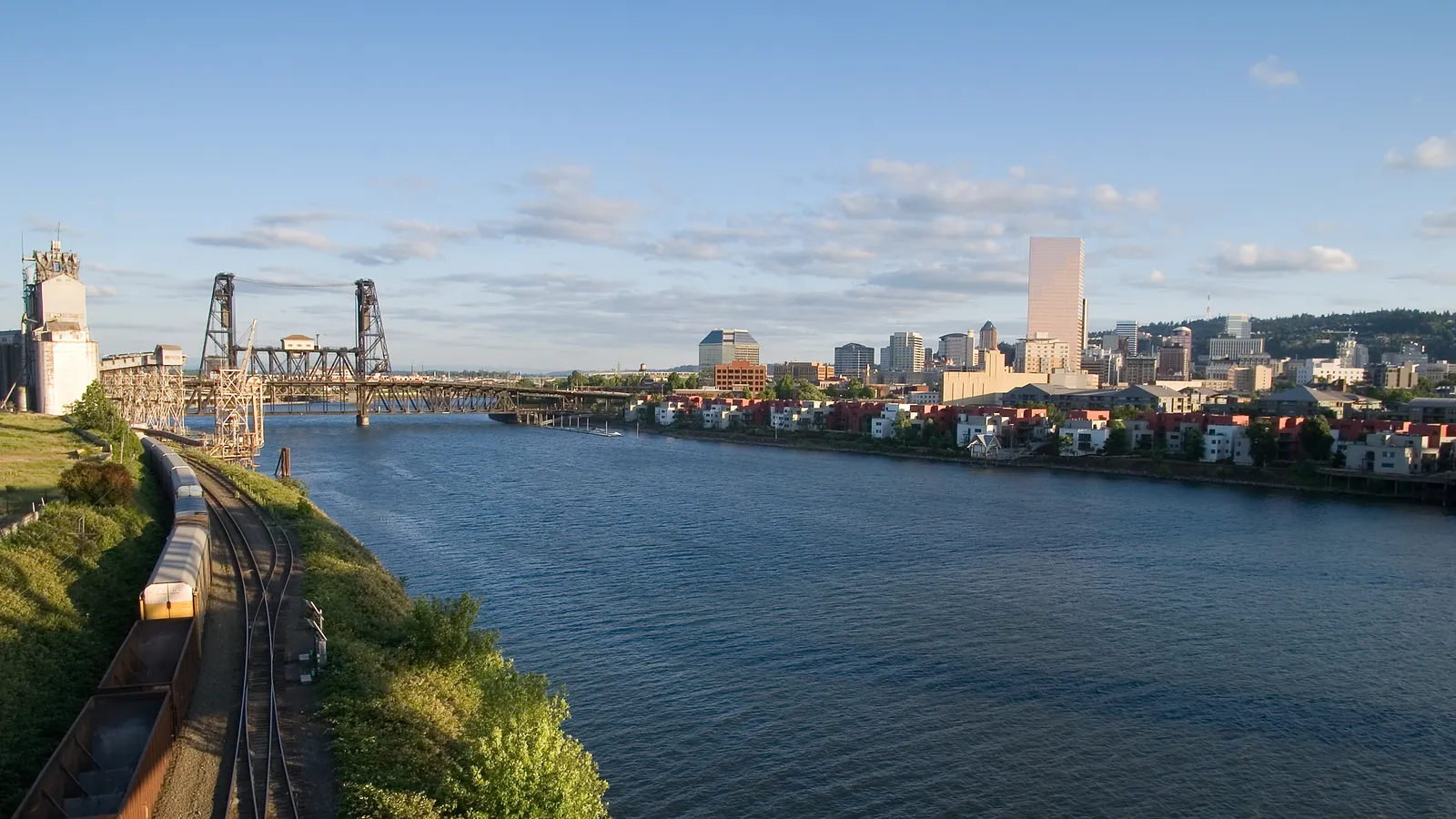
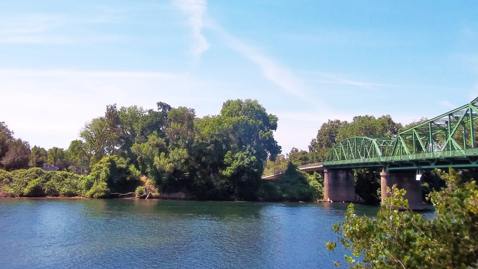
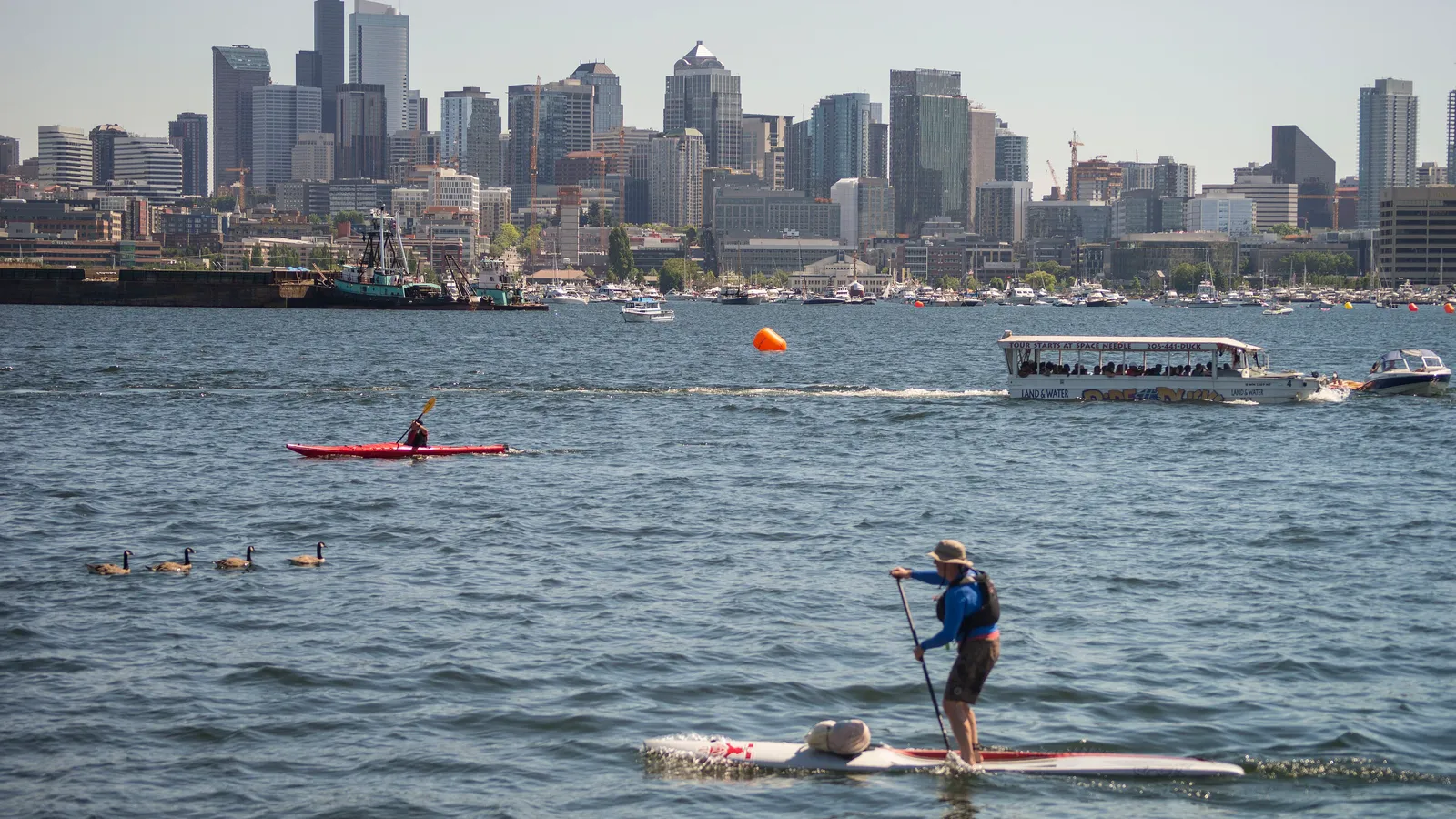
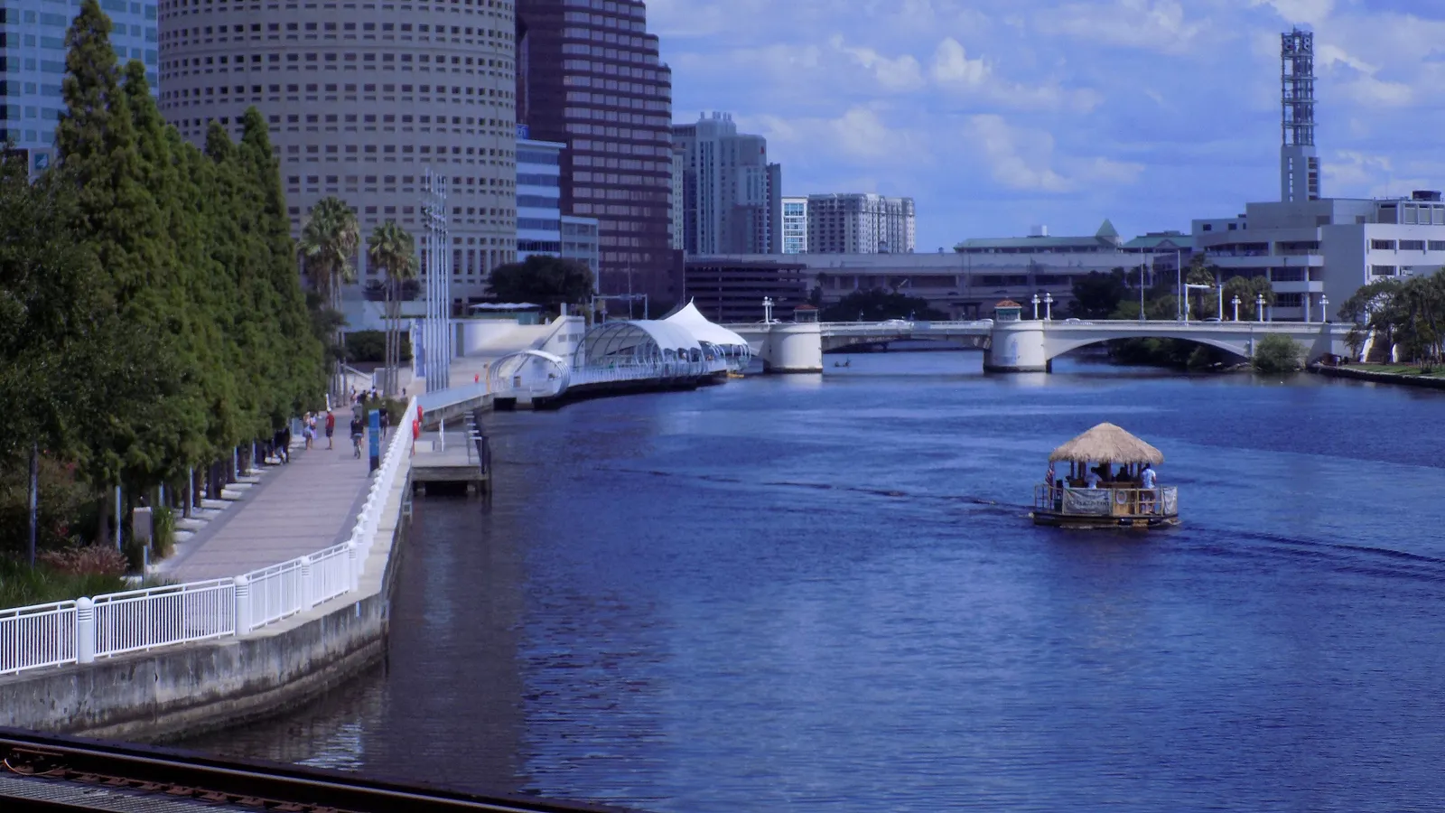
Allen’s Landing is where Houston was founded, on Buffalo Bayou at the edge of downtown. From here you paddle under a string of historic bridges, with the towers of downtown above the banks. Upstream, Buffalo Bayou Park runs 160 acres along the bayou between Sabine Street and Shepherd Drive.
Where to launch: Allen’s Landing Park, 901 Commerce Street, with a paid lot behind the building on the corner. There are also two canoe and kayak launches on the Sabine Promenade, reached from the Sabine Street Bridge and City Lot H (1643 Memorial Drive, 400+ spaces). Street parking on Allen Parkway between Sabine and Taft was $1 for 3 hours at the time of writing.
Rentals and tours: Buffalo Bayou Kayak Tours runs from the Sunset Coffee Building at Allen’s Landing (1019 Commerce Street), with kayak and paddle board rentals and guided skyline tours. Hours vary, and the Buffalo Bayou Partnership recommends booking ahead.
Good to know: Swimming is banned, and you won’t want to fall in: Texas Parks and Wildlife says the bayou’s water quality varies and is generally unsuitable for swimming. Wash your hands before you eat, and skip the bayou for a few days after heavy rain.
Buffalo Bayou from Memorial Park (Woodway access)
Directions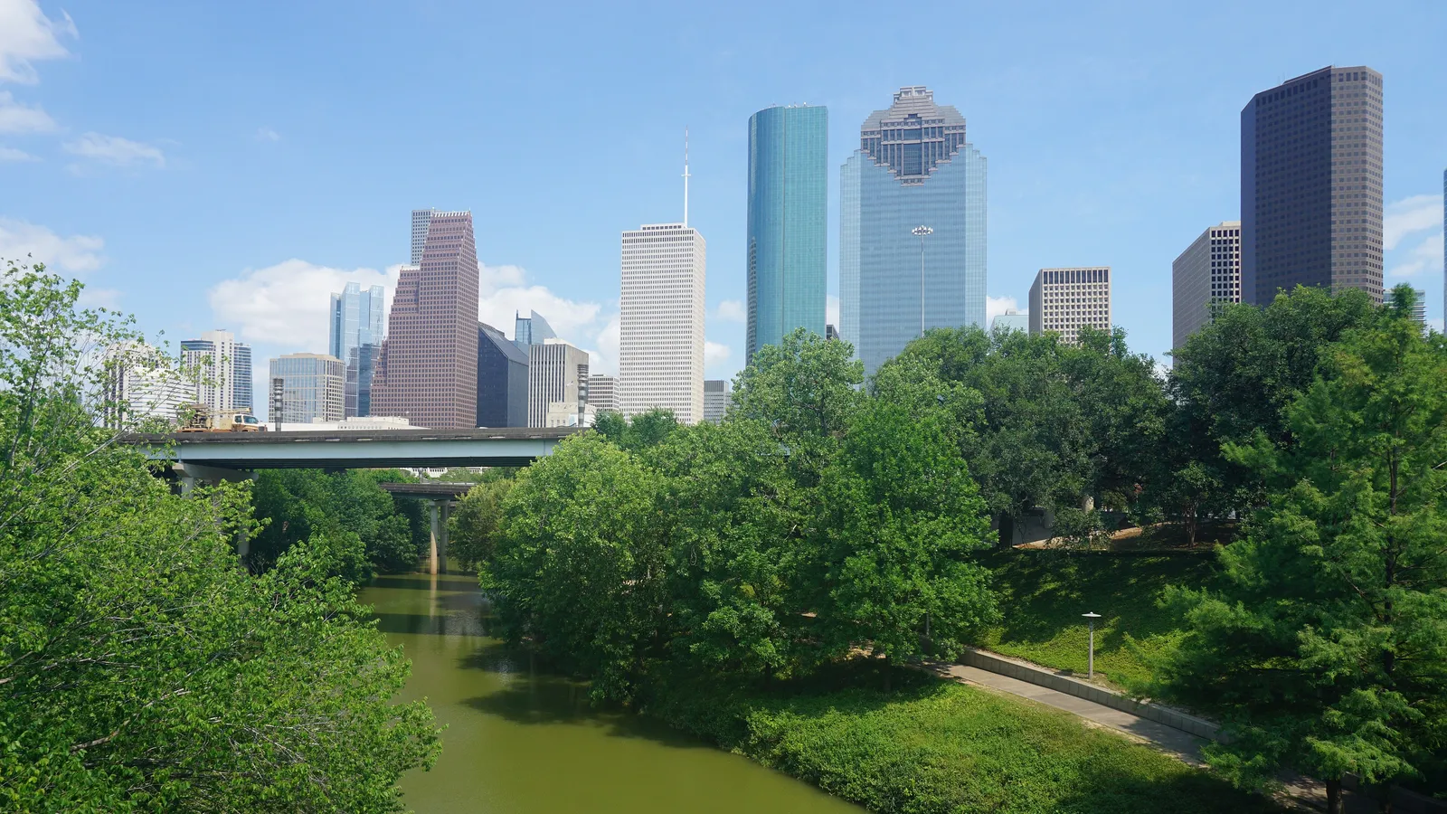
Best for: experienced paddlers who want a long, green river trip through the city. Moving water.
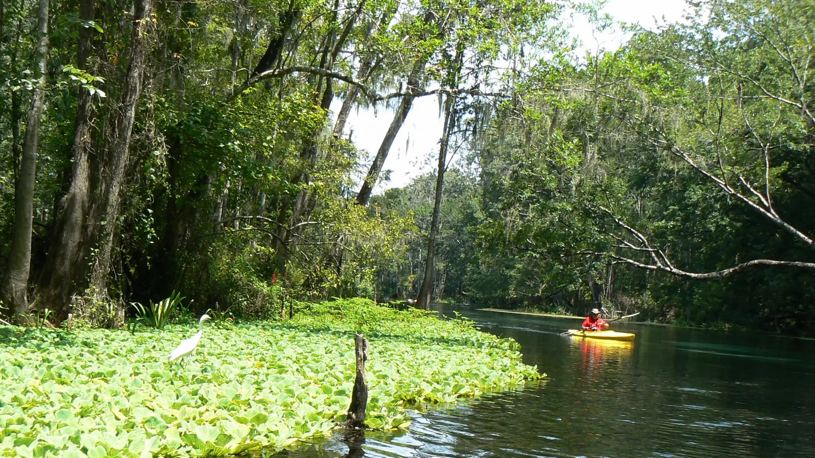
Texas Parks and Wildlife’s Buffalo Bayou Paddling Trail runs about 26 miles from Highway 6 to Allen’s Landing, split into sections that take anything from 15 minutes to 4.5 hours. The stretch from Memorial Park toward downtown is the most popular: wooded banks, egrets and turtles, and occasional alligators, with the skyline appearing as you reach Buffalo Bayou Park.
Where to launch: The Buffalo Bayou Partnership’s access at Woodway, in Memorial Park, is a popular put-in. Take out at the Sabine Street access or Allen’s Landing. This is a one-way trip with the current, so plan a car or rideshare shuttle.
Good to know: Flow is controlled partly by releases from Addicks and Barker reservoirs upstream, as well as storm runoff. High water, fast current and log jams are the main hazards. Don’t go when the bayou is up, and kneel down to pass under low branches and around snags.
Armand Bayou (Bay Area Park)
Directions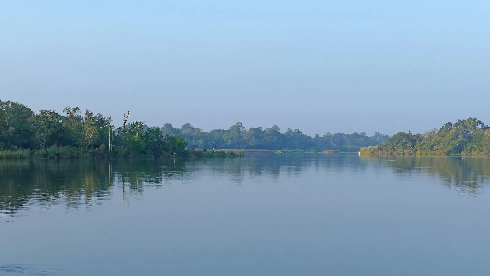
Best for: beginners, wildlife, quiet water. Flat water.
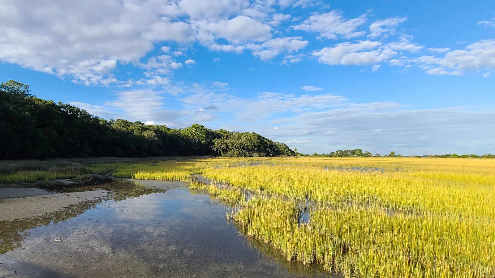
Armand Bayou runs through the Armand Bayou Nature Center near NASA’s Johnson Space Center, one of the largest urban wilderness preserves in the country. Texas Parks and Wildlife’s Armand Bayou Paddling Trail follows it from near Clear Lake upstream to Horsepen Bayou, and powerboats are banned from trail marker 4 upstream to marker 26. TPWD lists more than 220 bird species here, including roseate spoonbills, ospreys and pelicans.
Where to launch: Bay Area Park, 7500 Bay Area Boulevard, on the south side of the road where it crosses the bayou. The park was open 7 am to 10 pm at the time of writing. Paddle upstream (north) under the bridge for the narrow, sheltered, no-powerboat section; downstream, the bayou widens toward Clear Lake and boat traffic.
Tours: Armand Bayou Nature Center (abnc.org) runs guided canoe trips and electric pontoon tours if you’d rather go with a guide first.
Good to know: TPWD says alligators over 10 feet long are commonly seen near Horsepen Bayou. Give them plenty of space, don’t feed them, and leave the dog at home on this one.
Galveston Island State Park
Directions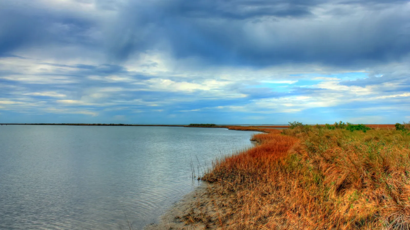
Best for: calm salt marsh, birding and a beach day. Sheltered bay water.
On the bay side of Galveston Island State Park, Texas Parks and Wildlife has marked three loop paddling trails through restored marsh and seagrass: Dana Cove (2.6 miles), Jenkins Bayou (2.8 miles) and Oak Bayou (4.8 miles). Breakwaters protect most of the routes, so the water is usually calm even when the Gulf side is rough.
Where to launch: Each trail has its own put-in, and because they’re loops you don’t need a shuttle. Dana Cove starts at the end of the main park road, Oak Bayou from a launch along the main park road, and Jenkins Bayou from the western end of Clapper Rail Road. The park charges a daily entry fee.
Rentals and tours: The park offers kayak rentals and guided kayak tours for groups (call 409-737-1222 to book). It doesn’t list paddle boards, so bring your own.
Good to know: The marsh is shallow at low tide, and the wind on Galveston Bay can build quickly in the afternoon. Check the tide and forecast before you go.
Lake Conroe
Directions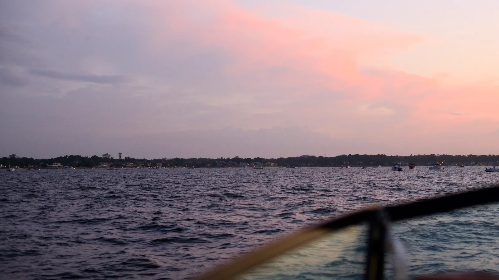
Best for: a big-lake day north of the city. Flat water in the coves, choppy and busy on the main lake.
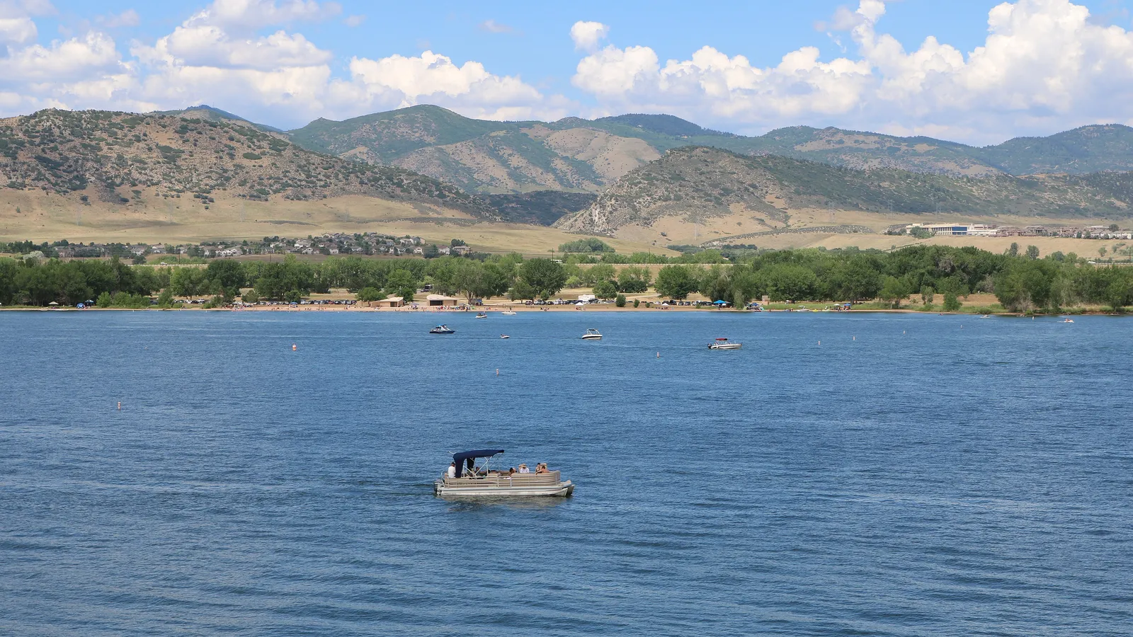
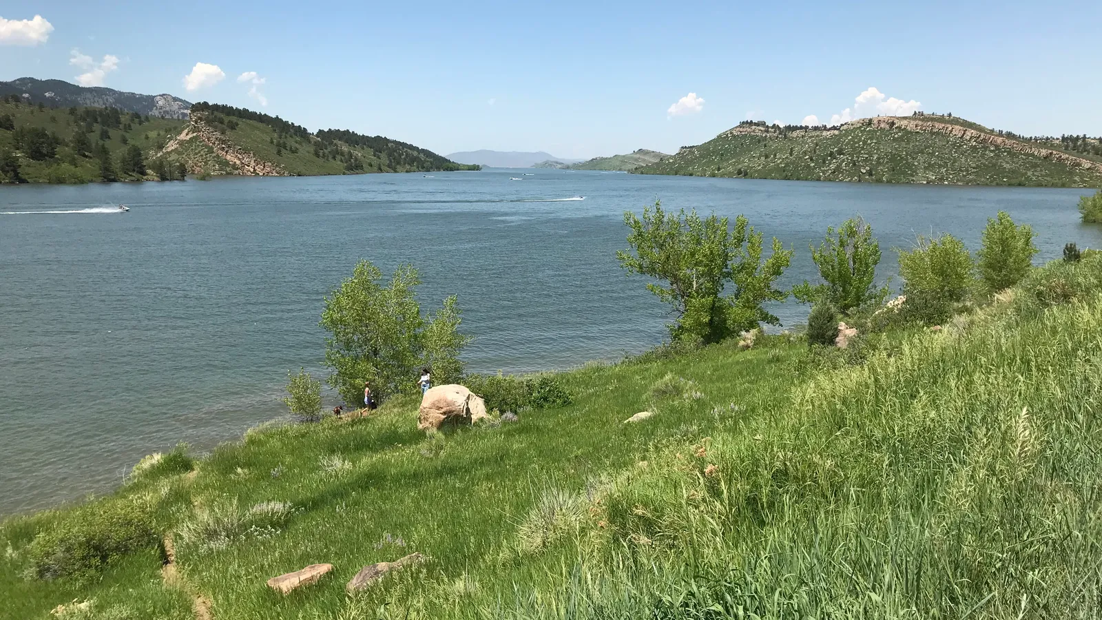
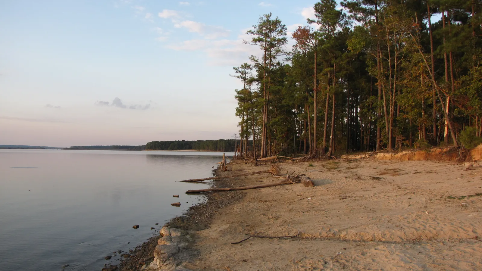
Lake Conroe is the big San Jacinto River Authority reservoir about an hour north of downtown. Much of the shoreline is private, and the main lake is a busy powerboat lake on summer weekends. The northern end, where the lake reaches into Sam Houston National Forest, is quieter.
Where to launch: Texas Parks and Wildlife lists Stubblefield Lake, in the national forest at the north end of the lake, as a small-boat launch with no launch fee (a day-use fee applies to the campground and picnic area). The FM 830 ramp, west of Interstate 45, is the free public ramp on the main lake. Most other ramps around the lake are at marinas and charge a fee.
Good to know: Stay in coves and close to shore, away from the main channel, and paddle early before the boats are out.
When to go
Houston’s water is warm for most of the year. NOAA’s averages for Eagle Point on Galveston Bay run from about 55°F in January to about 87°F in August.
- Spring (March–May): the best time for most paddlers. Comfortable air, warming water, and the bayous are green. Spring storms can push the bayous up quickly.
- Summer (June–September): hot and humid, with afternoon thunderstorms. Paddle at sunrise, carry plenty of water, and get off the water at the first thunder. Hurricane season runs June to November.
- Fall (October–November): another good window, with fewer storms and warm water.
- Winter: water in the 50s is cold enough to cause cold shock. Our wetsuit check suggests what to wear for the water and air temperature.
Planning a one-way run on Buffalo Bayou or a full loop at Galveston? Our Trip time calculator estimates how long it will take at your pace.
Rules and safety in Houston
Texas treats a paddle board as a vessel. According to Texas Parks and Wildlife:
- Life jacket: carry a US Coast Guard–approved life jacket for each person on board. Children under 13 must wear one at all times. See our pick of the best PFDs for SUP.
- Sound device: carry a whistle or similar.
- After dark: show a white light visible all around between sunset and sunrise, or in poor visibility.
Local rules and habits on top of that:
- Clean, drain and dry. TPWD requires every boat, kayaks and paddle boards included, to be drained before leaving or approaching fresh water, to stop invasive species spreading.
- No swimming on Buffalo Bayou, and avoid contact with bayou water after rain.
- Respect the no-powerboat zone on Armand Bayou, and stay out of the nature center’s closed areas.
- Check the weather. Houston’s bayous rise fast in storms. Never paddle a bayou in flood.
- Give alligators room on Armand Bayou and the quieter stretches of Buffalo Bayou.
FAQ
Where can beginners paddle board in Houston?
Armand Bayou, launching at Bay Area Park and heading upstream into the section where powerboats aren’t allowed. If you want a guide, a rental or a skyline tour on Buffalo Bayou downtown is the easiest way to start.
Can you paddle board on Buffalo Bayou?
Yes. You can launch at Allen’s Landing, the Sabine Promenade or the Woodway access in Memorial Park, and paddle boards are rented at Allen’s Landing. Just don’t swim, and stay off the bayou when it’s high after rain.
Do I need a permit to paddle board in Houston?
No permit is needed to paddle the bayous or Lake Conroe. You’ll pay for parking downtown, a daily entry fee at Galveston Island State Park, and a launch fee at most private marinas on Lake Conroe.
Can I bring my dog paddle boarding in Houston?
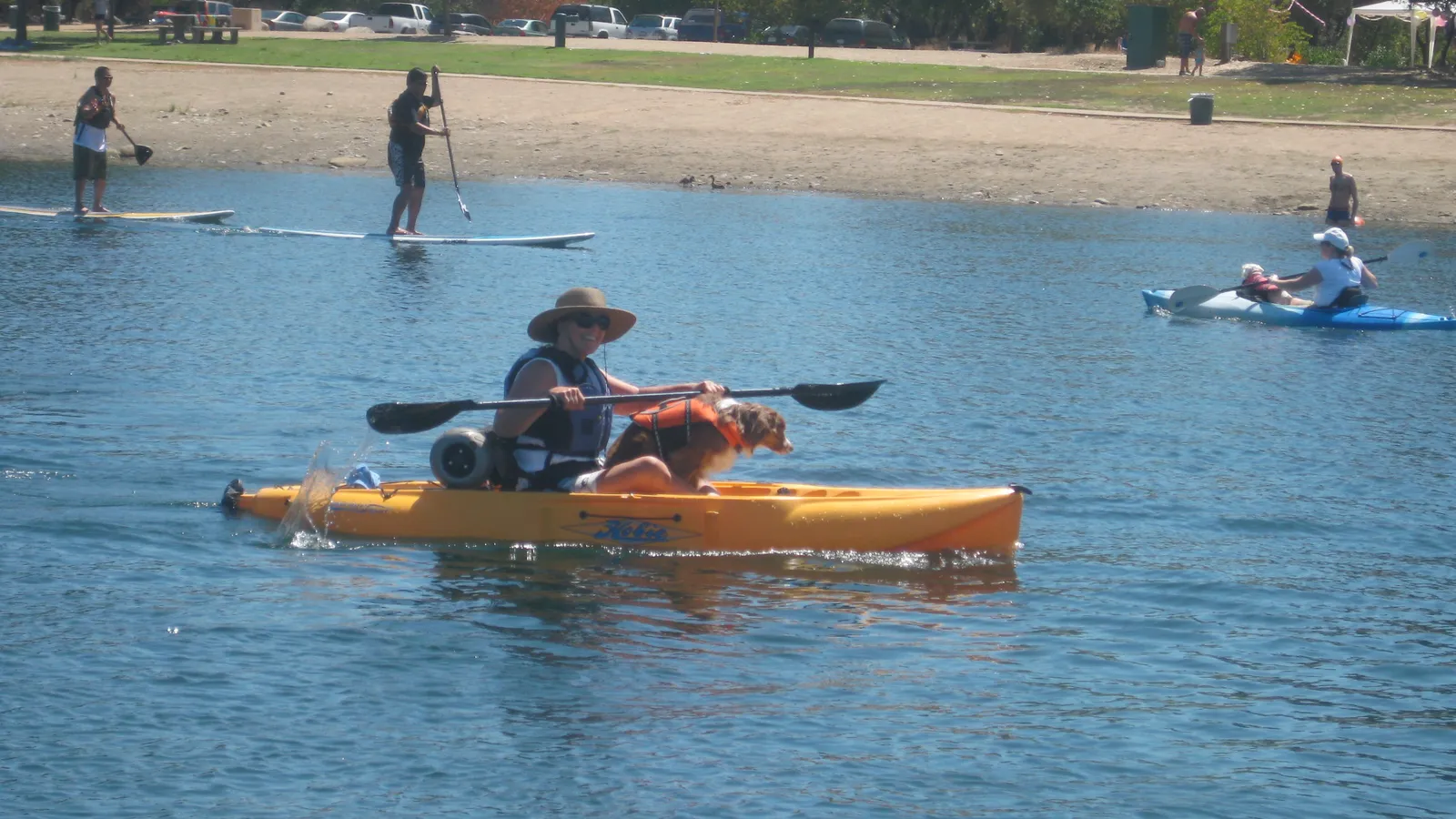
Buffalo Bayou and Lake Conroe are the better choices with a dog. Avoid Armand Bayou, where large alligators are common. Read how to paddle board with a dog before your first trip together.
What size board do I need for bayou paddling?
A stable all-round board around 10’6” to 11’ works for most people on flat bayous. Our Board Fitter suggests a size for your weight and the water you paddle.
Heading west? See our guide to where to paddle board in Austin, or north to Dallas–Fort Worth.